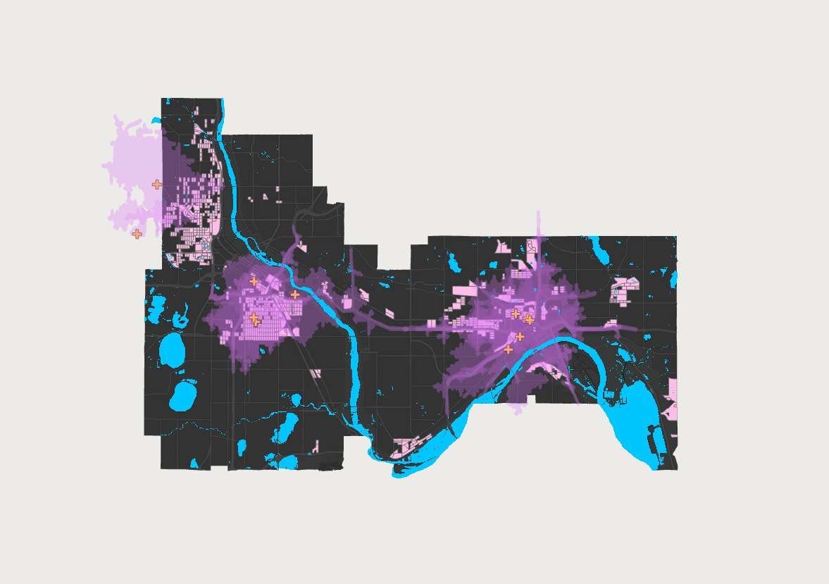
Urban heat islands are a significant health concern around the world. Correlations between high heat, cities, pavement, and deaths are a rising issue in many major cities. The Twin Cities Metro Area has been affected by heat islands; however, some residents are more at risk. Historic housing disparities have created zones within heat islands that put people of color at a higher risk of the effects of heat islands. While urban heat islands are not avoidable, mitigation strategies can help to limit the negative effects they have. Identifying the most notable land cover feature in vulnerable areas allows for a suggestion of the mitigation strategy. Noting the relationships between heat islands, the areas they affect most, and potential solutions brings light to a problem encasing the world.
Urban heat islands are a serious global issue. While they primarily effect the most urban areas of cities, the negative effects are primarily seen among vulnerable populations. By indentifying the areas of cities that showcase vulnerablilty through sociodemographic, economic and physical factors, the most urgent areas for mitigation efforts can be shown. Utilizing census block geography and land cover can uncover which mitigation stragety is most effective in vulnerable areas.
While this study was done in the main neighborhoods of the Twin Cities Metro Area, obtaining the correct datasets per each major urban area suffering from urban heat islands would allow the user to find vulnerable areas in their cities.
Urban heat island mitigation is one way to combine the study of geography with themes of social justice. Realizing the impact that urban heat islands have on vulnerable populations and the connection that lies in data allows for the modeling and identification of those areas.