Introduction
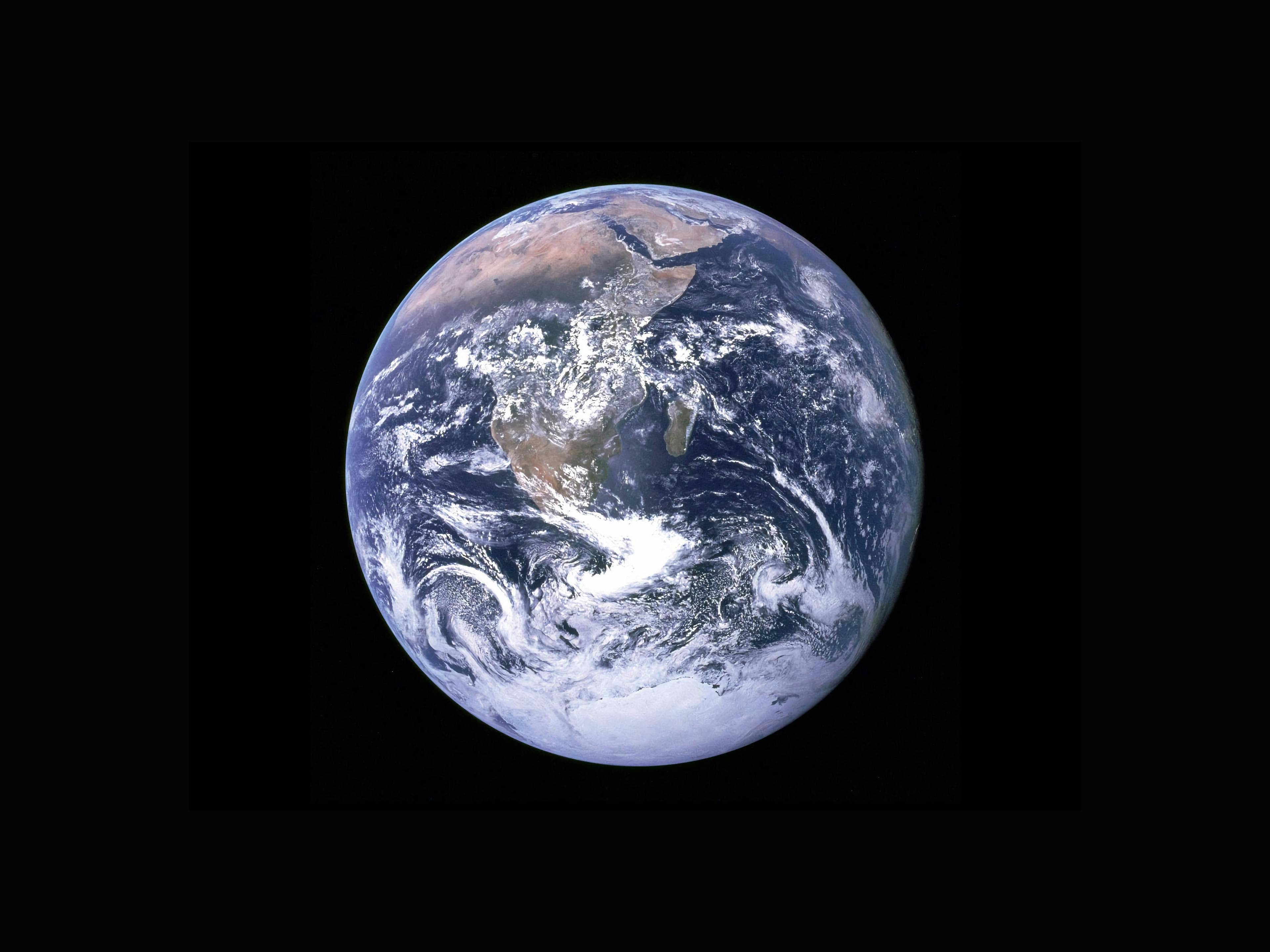
Satellite imagery is an important technology for revolutionizing the way we perceive and understand our planet. These images captured by the satellite provide invaluable insights into Earth's features, changes, and patterns over time to help plan, route, and respond to various issues.
Whether you're a geospatial enthusiast, a seasoned professional, or just curious about the world around us, this article will help you understand Satellite Imagery; the basics, the various types, their resolution, and their importance.
Table of Contents
What is Satellite imagery?
Main Types of Satellite Imagery
Satellite Imagery Resolution
Importance of Satellite Images (Why are Satellite Images Important?)
Conclusion
What is Satellite Imagery?
Literally, just as the name implies, Satellite Imagery means imagery captured by a satellite. Satellite Imagery is a digital imagery, a visual representation of the Earth’s surface captured by cameras or sensors mounted aboard satellites orbiting the Earth.
Satellite Imagery helps us understand our planet’s dynamic processes and changes and plays a vital role in environmental monitoring, urban planning, and disaster management, among many others.
Main Types of Satellite Imagery
Satellites can be active or passive:
Active Satellites: They make use of remote sensors that detect reflected responses from objects that are irradiated from artificially generated energy sources.
Passive Satellites: These make use of sensors that detect the reflected or emitted electromagnetic radiation from natural sources. The natural source is typically the energy from the sun, but other sources can be imaged as well, such as magnetism and geothermal activity.
There are various types of Satellite Imagery; let’s talk about the main types:
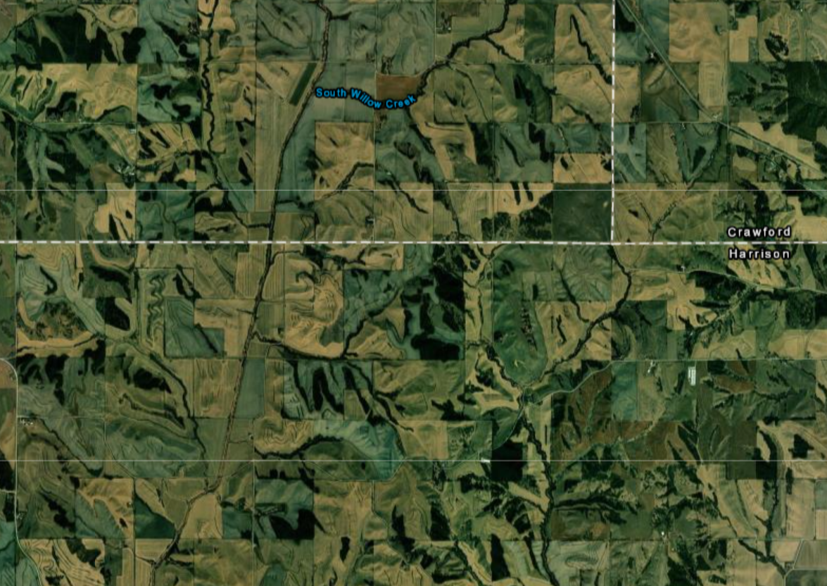
Visible Satellite Imagery: Visible Satellite images are images captured by satellites that detect and record visible light wavelengths, similar to the colors that our eyes perceive. These images provide a visual representation of the Earth’s surface and cloud cover as seen from space. They are only available during the day. This type of imagery is widely used in meteorology, aviation, disaster monitoring, and environmental studies.

Infrared (IR) Satellite Imagery: Infrared satellite imagery captures the infrared radiation emitted or reflected by objects on Earth's surface; it focuses on the heat radiated by different materials and surfaces, which allows for the creation of images that highlight variations in temperature. This can be particularly useful for applications such as weather forecasting, land and water temperature analysis, and detecting heat signatures in various environments. An obvious advantage of IR satellite images over visible images is that IR images are available both day and night.

Image Credit:CNES, 1998 DISTRIBUTION SPOT IMAGE / SCIENCE PHOTO LIBRARY
Water Vapor Satellite Imagery: Water Vapor is an essential part of the atmosphere, as it plays a critical role in weather and climate patterns. Water vapor satellite imagery focuses on detecting the concentration and movement of water vapor in the Earth's atmosphere. Water vapor imagery is particularly useful for weather analysis and forecasting, tracking moisture, identifying areas of potential rainfall or thunderstorm development, and predicting atmospheric instability.

Satellite Imagery Resolution
Resolution matters a lot when we talk about Satellite imagery! The quality and quantity of satellite imagery are largely determined by their resolution. Considering the resolutions when selecting satellite imagery is crucial for various applications. There are four types of resolution that characterize any particular remote sensor:
Spatial Resolution: This refers to the level of detail that can be captured and distinguished in a satellite image. Spatial resolution determines the smallest object or feature that can be detected, and it is usually expressed in terms of pixels. A high spatial resolution image means that small objects can be identified, which leads to a more detailed and accurate representation of the Earth’s surface. For example, a satellite image with a spatial resolution of 1 meter can distinguish objects that are at least 1 meter apart on the ground. On the other hand, an image with a lower spatial resolution, such as 30 meters and above, would provide a more generalized view where smaller details might be lost.
Low resolution: over 30 m/pixel (e.g., NASA Landsat 1–5, Terra and Aqua MODIS Satellites)
Medium resolution: 5–30 m/pixel (e.g., Sentinel-2, USGS/NASA Landsat 8 Satellite)
High resolution: 1–5 m/pixel (e.g., IKONOS, RapidEye)
Very high resolution: <1m/pixel (e.g., Maxar’s Worldview Satellites with 0.46m spatial resolution)

Image Credit: EOS Data Analytics
Spectral Resolution: This refers to the ability of a sensor or instrument to distinguish and capture wavelength intervals, also called bands of electromagnetic radiation, within the electromagnetic spectrum. In the context of satellite imagery and remote sensing, it refers to how finely the sensor can detect and differentiate various colors or wavelengths of light. Satellite sensors with high spectral resolution can capture a wide range of distinct wavelengths, providing detailed information about the composition of the Earth's surface. Spectral resolution is crucial for tasks like land cover classification, vegetation analysis, mineral identification, and more.
Multispectral and Hyperspectral sensors can detect subtle differences in vegetation health, soil types, and other environmental factors by capturing a multitude of specific wavelengths.
Multispectral Sensors: A multispectral sensor captures data in a few specific spectral bands across the electromagnetic spectrum. It provides valuable information about different features on Earth's surface, like vegetation health, water bodies, and urban areas. Multispectral sensors capture light in the visible and a few specific near-infrared or infrared wavelengths, thus, enhancing our understanding of the environment.
Hyperspectral Sensors: A hyperspectral sensor captures data in numerous narrow and contiguous spectral bands across the electromagnetic spectrum. It offers incredibly detailed information about materials and substances present in a scene. Hyperspectral sensors are used to identify subtle differences in reflectance or absorption, making them vital for applications like mineral exploration, environmental monitoring, and analyzing the unique spectral signatures of various materials.
Temporal Resolution: It is the frequency at which a satellite captures data for a specific location on Earth’s surface over time. It indicates how often the same area is revisited and new data is acquired.
A high temporal resolution means that an area is observed frequently, while a low temporal resolution indicates longer gaps between observations.
Temporal resolution is essential for monitoring dynamic processes such as land cover changes, vegetation growth, urban development, and natural events like wildfires or floods.
Temporal resolution can be thought of as true-nadir or off-nadir.
True-nadir: This refers to the point directly beneath the satellite or sensor. When a satellite is in its nadir position, its sensor is looking straight down at the Earth's surface, capturing imagery directly below the satellite. This angle provides a top-down view and is often used for mapping and land cover analysis.
Off-nadir: This refers to any viewing angle that is not directly vertical (nadir). At off-nadir angles, the sensor is tilted away from the vertical line, capturing imagery from an angle rather than directly from above. Off-nadir angles can be used to capture information about the sides of buildings, slopes, and other surface characteristics that might not be visible from a purely top-down view.
Examples:
IKONOS - 3 to 5 days for off-nadir imaging and 144 days for true-nadir imaging.
Landsat - 16 days revisit period
Sentinel-2 - 5 to 10 days revisit period
Radiometric Resolution: This is also known as gray-level resolution or bit depth, it refers to the sensitivity of the sensor to variations in intensity of electromagnetic radiation (such as light) that it receives from the Earth’s surface and specifically denotes the number of grayscale levels that can be imaged by the sensors.
Radiometric resolution measures the sensor's sensitivity to different shades of color or brightness in an image. A sensor with higher radiometric resolution can differentiate more subtle differences in light intensity, leading to a more detailed representation of the scene. It is especially important when capturing imagery with fine details or when working with scenes that have varying light reflectance levels.
Available Radiometric values for a sensor:
8-bit (yielding values that range from 0 - 255 as 256 unique values or as 28 values), this means it can distinguish 256 different levels of intensity;
11-bit (0 - 2,047) can distinguish 2,048 levels;
12-bit (0 - 4095) can distinguish 4,096 levels; or
16-bit (0 - 63,535), which can distinguish 63,536 levels.
NOTE:
Due to the technical limitations associated with Satellite remote sensing systems, there is a compromise between these different types of resolution. Improving one type of resolution often necessitates a reduction in one of the other types of resolution. For example, an increase in spatial resolution is typically associated with a decrease in spectral resolution, and vice versa.
Similarly, geostationary satellites (they circle the earth proximal to the equator once each day) yield high temporal resolution but low spatial resolution, while sun-synchronous satellites (they synchronize a near-polar orbit of the sensor with the sun’s illumination) yield low temporal resolution while providing high spatial resolution.
Although technological advancements can generally improve the various resolutions of an image, it is necessary to always ensure that the imagery chosen is adequate to represent or model the geospatial features that are most crucial to one’s study.
Importance of Satellite Images (Why are Satellite Images Important?)
Satellite images are crucial because they provide a unique and valuable perspective of the Earth's surface and atmosphere, which in most cases cannot be obtained from aerial photographs. They offer insights into changes, patterns, and conditions that are not easily observable from the ground. These images contribute to scientific understanding, informed decision-making, and effective management of various aspects of our world.
Satellite images provide a global view of Earth's surface and atmosphere, and so they help one have a comprehensive understanding of their features, dynamics, and interactions.
Satellite images help track environmental changes, such as deforestation and desertification, which helps in understanding the impact of human activities on the planet.
Satellite images assist in managing natural resources, such as water availability, agricultural lands, and forests, facilitating sustainable development and conservation efforts.
Rapid and accurate satellite imagery helps to manage disasters by assessing damage, guiding relief efforts, and evaluating post-disaster recovery progress.
Satellite images enable researchers to study Earth's geological formations, ocean currents, atmospheric conditions, and ecosystems, expanding our knowledge of natural processes.
Satellite images can serve as educational tools, enhancing geographic understanding, environmental awareness, and scientific curiosity among students, educators, and the public.
Conclusion
In this article, we have explored the basics of Satellite Imagery; we uncovered the essential concepts of resolution, the different types of satellite imagery, and its importance.
Now we know that Satellite imagery is more than just mere pictures, it helps us to understand our planet, provides invaluable insights into Earth's features, changes, and patterns over time to help plan, route, and respond to various issues.
Additional Resources
Essentials of Geographic Information Systems pdf
EOS Data Analytics
Mapbox