

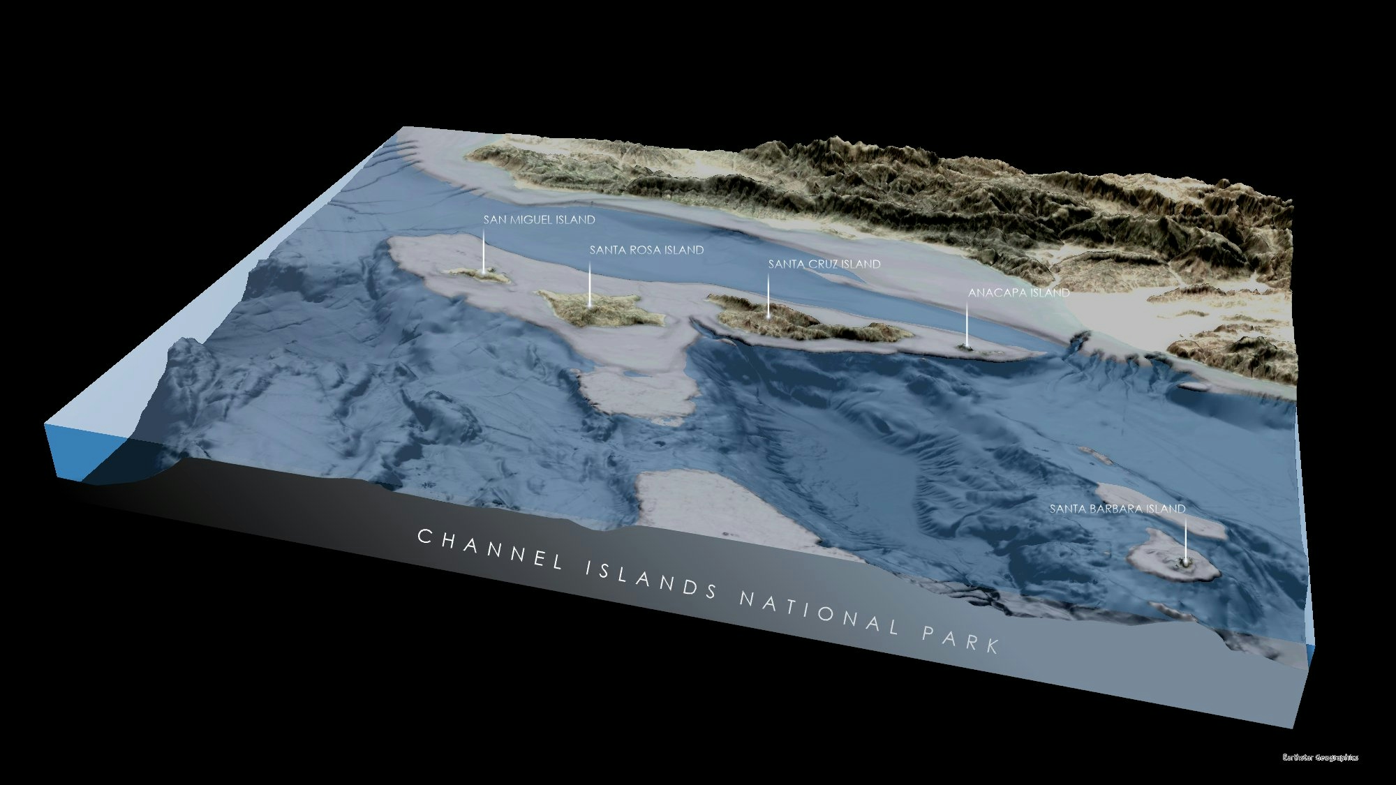
The is piece of cartography depicts the boundaries of Canyonlands National Park found in Southeastern Utah. The terrain is styled using the "Sunrise" style created by John Nelson.
Canyonlands National Park, UT
Tools used
ArcGIS Pro
Plug-ins used
ArcGIS Pro
tags
ArcGIS ProCartography#mappychallenge
More by Seth Frame


You might also like


Join the community!
We're a place where geospatial professionals showcase their works and discover opportunities.