

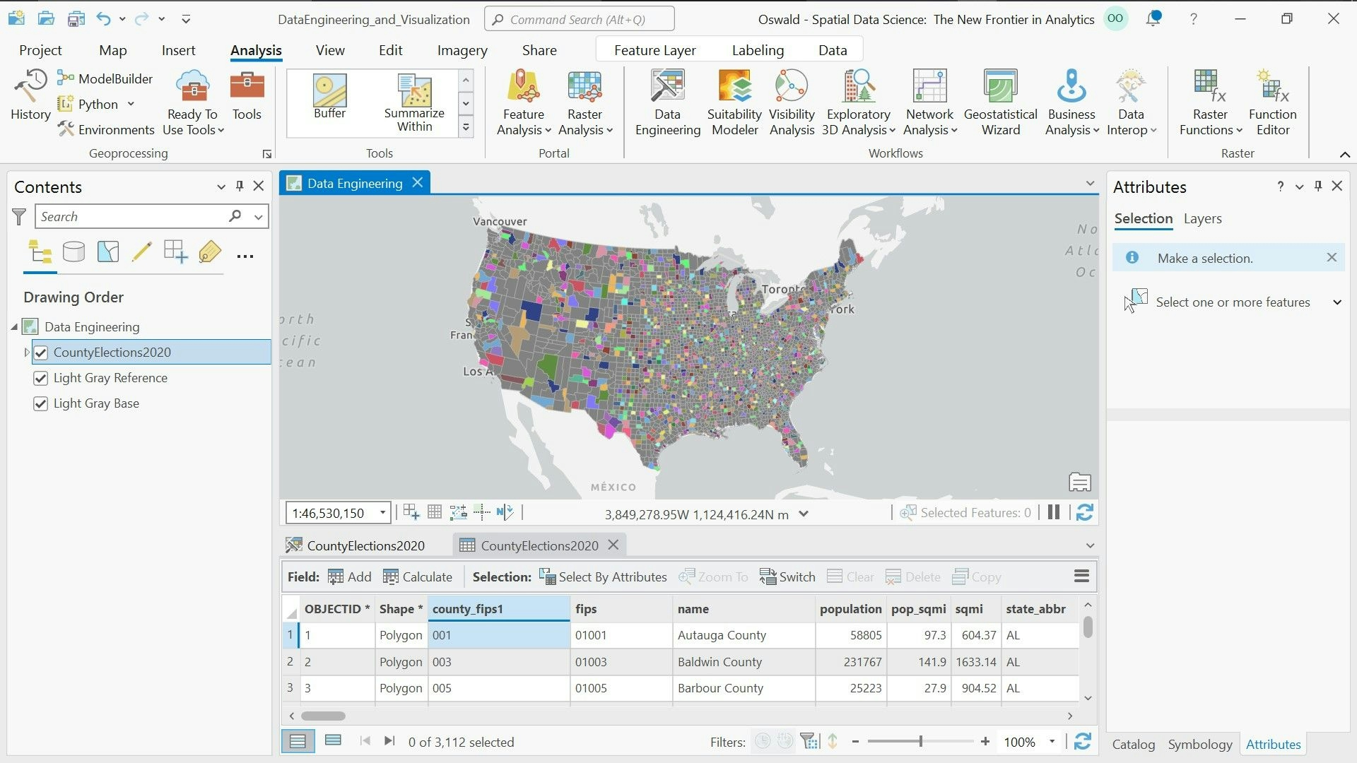
This map incorporates state-designated vulnerable populations and underlays a heat risk layer that was created from Landsat-8 Land Surface Temperature products.
EJ Populations under Heat Risk
Tools used
ArcGIS Pro
Plug-ins used
ArcGIS
tags
Urban Heat IslandVulnerable Populations

You might also like


.svg "Keran Nkongolo")


Join the community!
We're a place where geospatial professionals showcase their works and discover opportunities.