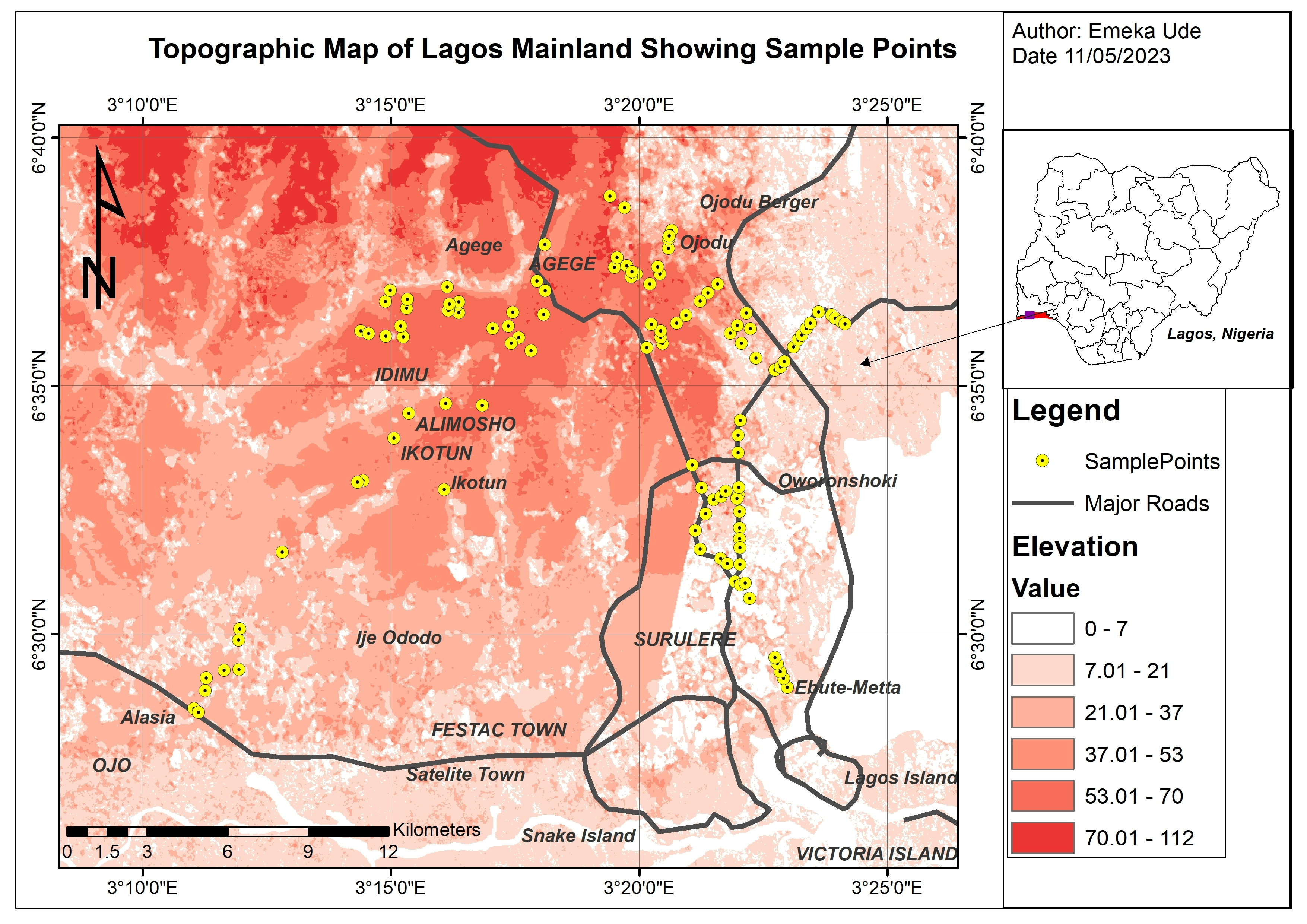
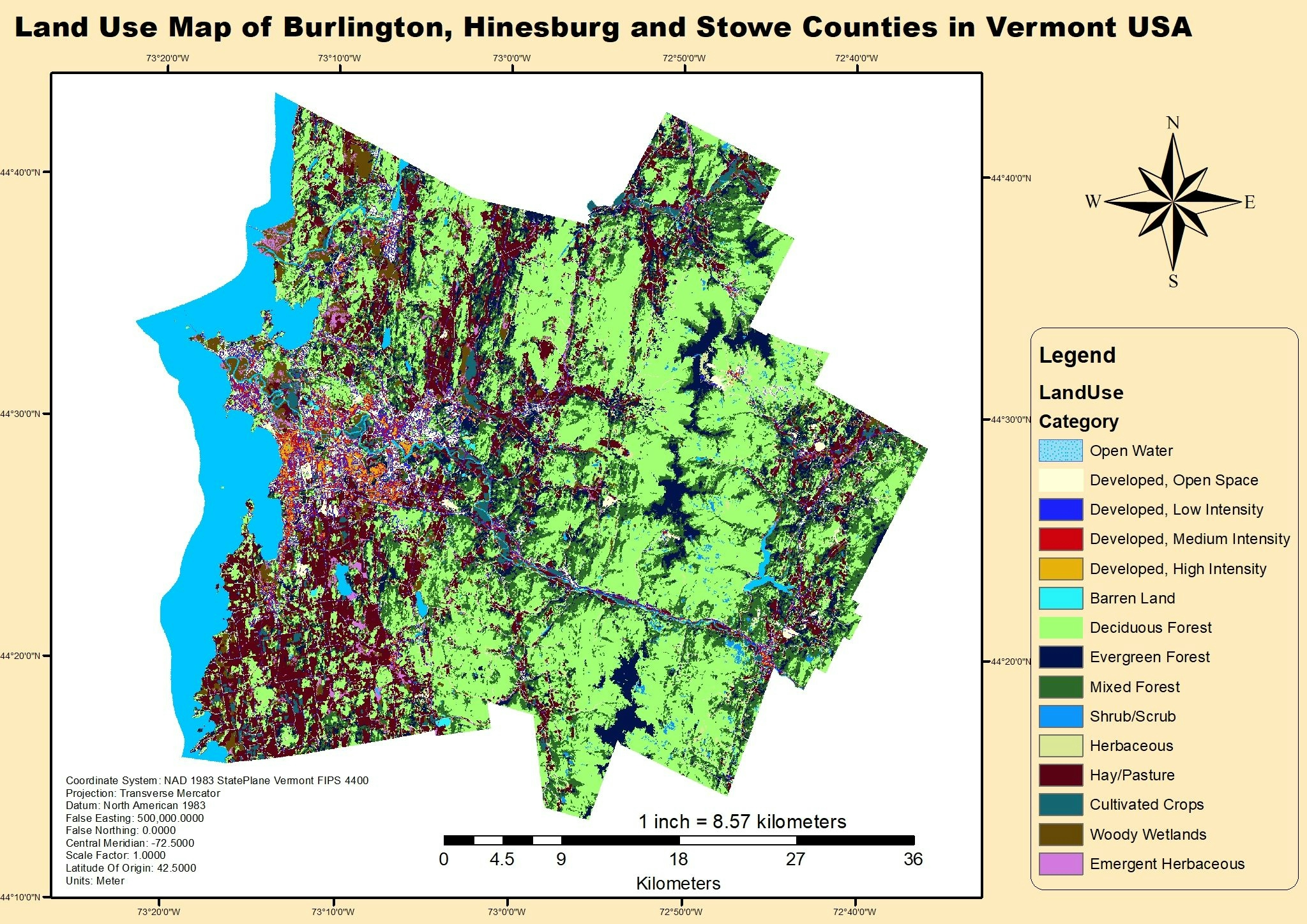
This project focused on teaching basic controls and features that will be useful groundwork for understanding how Arc GIS work. It is on importing a map from another folder to show how to use data from an outside source and import it into the program. It also showed how to modify symbols, package and share the map for ease of access, and how to use data to make a 3D image.
With the system ArcGIS you are able to input different variables of data and use that data to display a visual representation of that data. The data we looked at in the project was able to show us population/pollution by country. This can easily be expanded on through this software to give a representation of where the most pollution in each country is coming from for a visual aid. The software can also track the growth and decline of bird populations and see if there is a correlation between pollution and bird populations. It can also be used to track the concentration of pollution that spreads throughout a country using the tools we used in the first exercise and this one. This would be useful for controlling contaminates and keeping an eye on how far they spread from the source of pollution.