

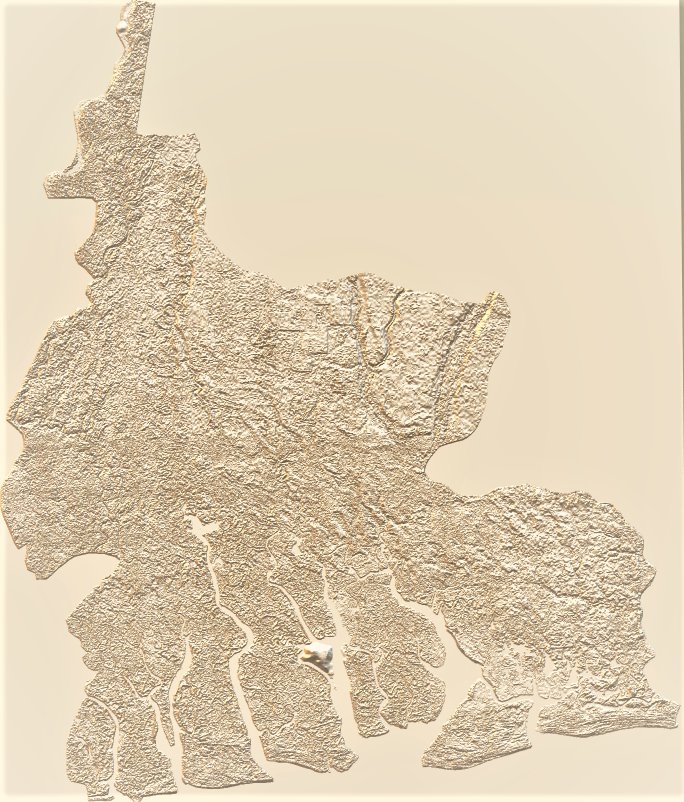
This layout stemmed from an elevation analysis using contours to visualize heights greater than 2500 meters. I was exploring new cartographic techniques including creating map elements from scratch, including the scale bar and north arrow.
Mapping High Points of California
Plug-ins used
ArcGIS Pro
tags
Cartography
You might also like


Join the community!
We're a place where geospatial professionals showcase their works and discover opportunities.