

This project was about getting to know the different layers and how to use different features of the program. Another feature used in the exercise was the measuring tool to get approximate measurements between cities across the globe.
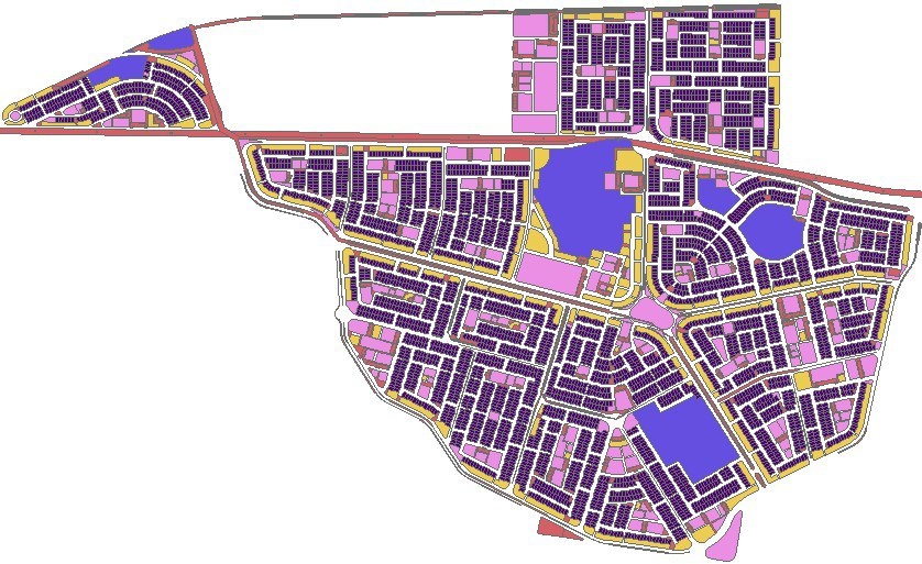
World Pollution by Population
Plug-ins used
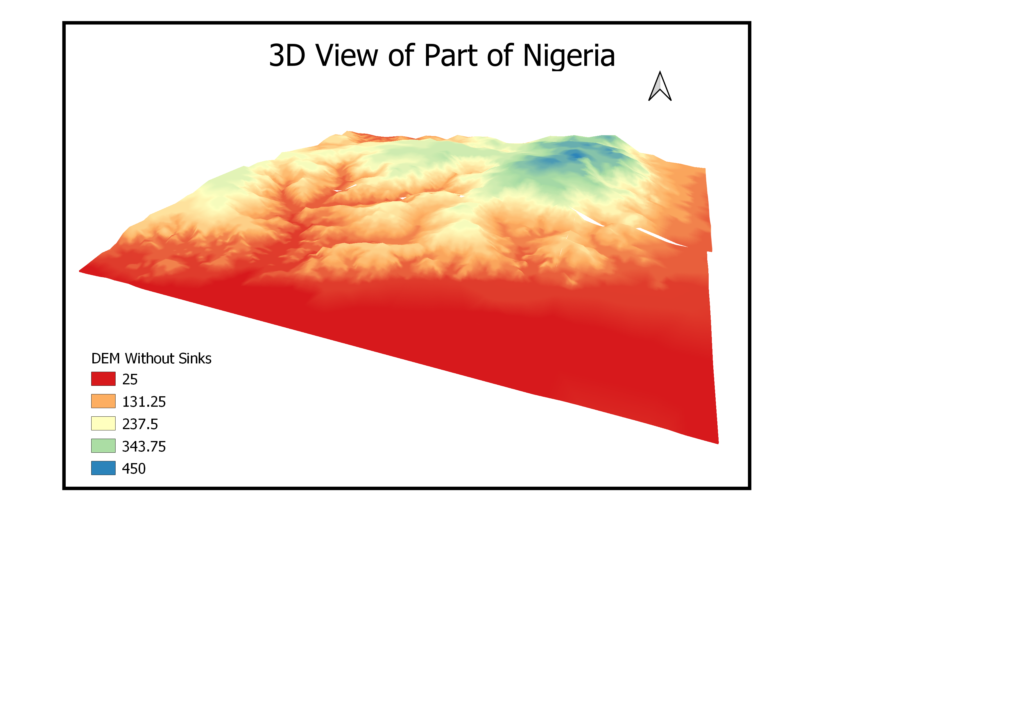
ArcGis Pro 3.2
tags
citiesOceans, Population, Pollution,
More by Troy Mills


You might also like


Join the community!
We're a place where geospatial professionals showcase their works and discover opportunities.