Introduction
Understanding the spatial dimension of risks is essential for effective planning and mitigation techniques in the field of risk assessment. Traditional techniques to risk assessment frequently ignore the importance of regional context, which limits their ability to fully reflect the complexity of threats. Spatial analysis, however, has become a game-changer with the introduction of Geographic Information Systems (GIS), allowing experts to precisely identify, examine, and map risk factors, vulnerabilities, and potential effects of hazards. This article explores spatial analysis's role in risk assessment and how GIS enables decision-makers to take well-informed decisions that improve community safety and resilience.
1. Understanding the Spatial Dimension of Risks
Location has a crucial role in determining risk factors, vulnerabilities, and potential effects of hazards. GIS offers a strong framework for include spatial data in risk assessment models, enabling a thorough knowledge of how geographic factors affect risk profiles. GIS facilitates the identification of geographical patterns and correlations that influence risk distribution by combining numerous datasets, including population data, infrastructure networks, environmental variables, and historical hazard records.
2. Mapping Hazard Zones and Vulnerable Areas
GIS makes it easier to map hazard zones and vulnerable areas, highlighting hotspots that require specialized interventions. In order to prioritize resource allocation and mitigation efforts, GIS identifies locations vulnerable to various risks using spatial analytic techniques such as proximity analysis, overlay analysis, and density mapping. Decision-makers can intuitively understand complicated spatial relationships and effectively convey findings to stakeholders by visually expressing risk data, which promotes collaboration and well-informed decision-making.
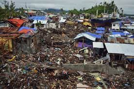
3. Analyzing Cascading Effects and Interdependencies
Risks rarely exist alone; they frequently interact and cascade across many spatial scales and industries. Exploring the connections between hazards and vital infrastructure systems using GIS reveals potential cascading impacts and amplifying processes. Decision-makers can develop methods to decrease cross-sector vulnerabilities, strengthening resilience, and avoiding potential cascading effects by simulating the spatial propagation of risks.
4. Planning scenarios and what-if analysis
Risk assessment using spatial analysis gives decision-makers the ability to create scenarios and do what-if evaluations. GIS provides the display and assessment of alternative scenarios by modifying various risk variables, providing insights into the possible effects of various mitigation techniques. This dynamic strategy encourages flexible judgment and aids in the creation of effective risk management strategies.
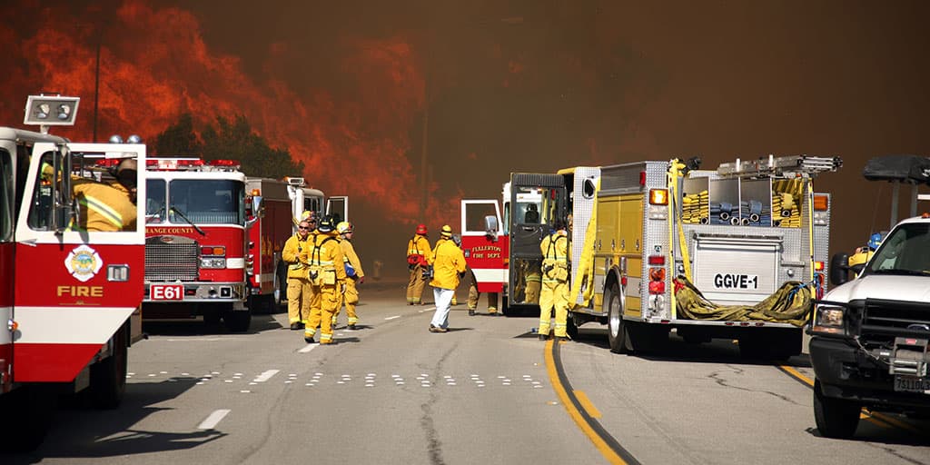
5. Improving skills for Preparedness and Emergency Response
GIS is essential in improving preparedness and emergency response skills. GIS offers prompt situational awareness, resource allocation, and evacuation planning by fusing real-time data streams, including as meteorological data, sensor network data, and social media feeds, with geographic analysis tools. Emergency managers may make data-driven decisions with the use of spatially enabled decision support systems, eventually saving lives and limiting damage in times of disaster.
Conclusion
By including the critical spatial dimension into the process, spatial analysis powered by GIS has transformed the field of risk assessment. Decision-makers can identify high-risk locations, map vulnerabilities, examine interdependencies, undertake scenario planning, and improve emergency response by utilizing GIS capabilities. Professionals may make well-informed decisions, allocate resources wisely, and create complete risk management strategies thanks to the integration of spatial data and cutting-edge analytical methodologies. Spatial analysis in risk assessment will continue to be a crucial tool for creating resilient and sustainable communities as we navigate an increasingly complicated and interconnected world.
Image cover source: Central Asian Journal of Environmental Science and Technology Innovation