

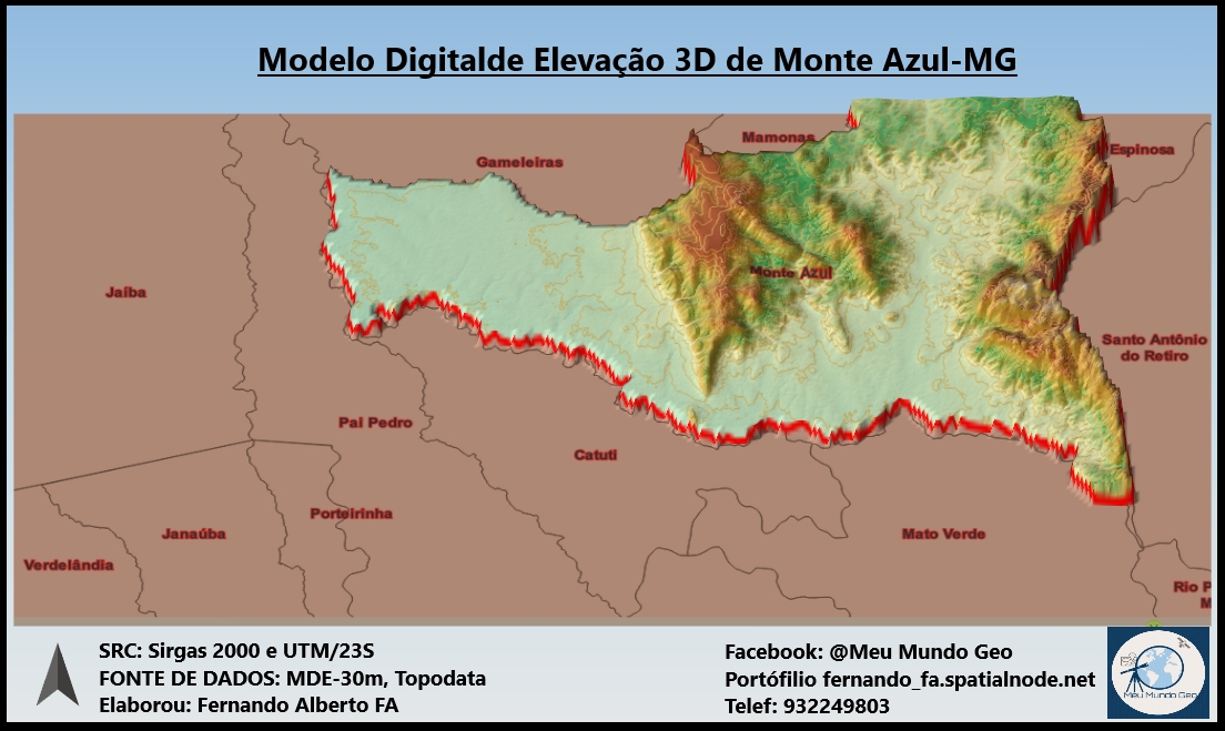
Map making is done by classifying the types of vegetation cover that exist in Gunung Geulis area and then carbon calculations are carried out using a formula according to the type of vegetation.
Above Ground Carbon Map
Tools used
ArcMapMicrosoft Excel
Plug-ins used
google earth pro
tags
Carbonland cover
More by Ilham Muhammad Shuhada


You might also like


Join the community!
We're a place where geospatial professionals showcase their works and discover opportunities.