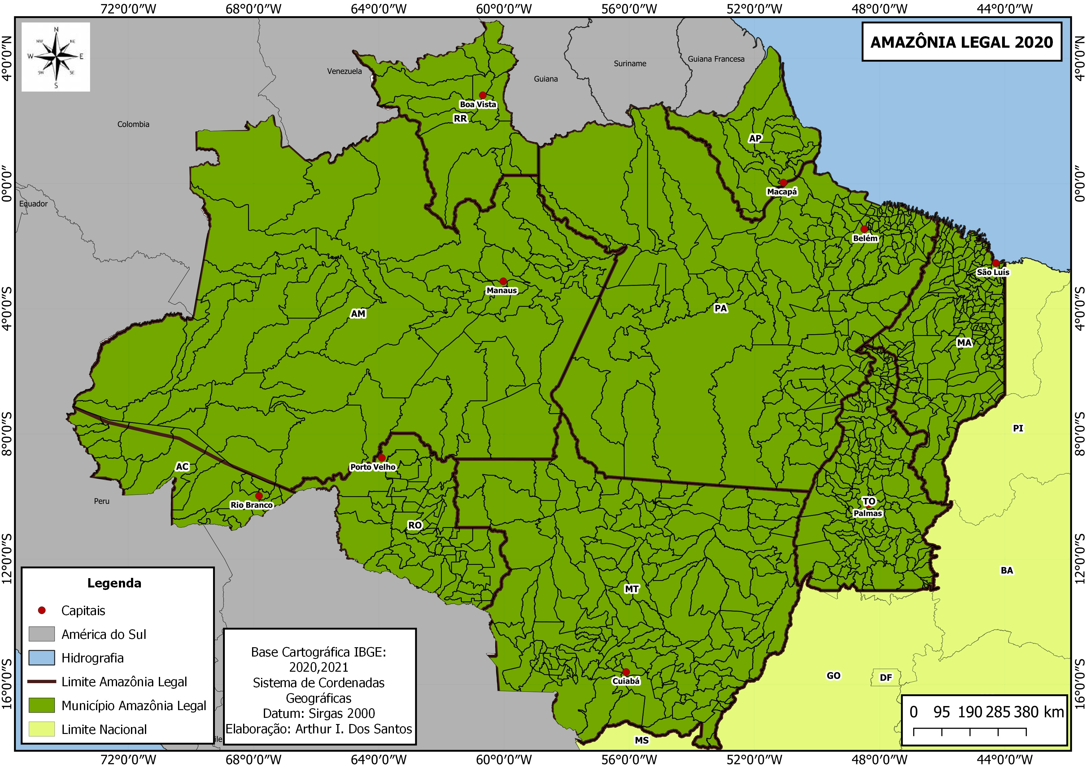
Área de Preservação Permanente - Brasil


Tools used
QGIS
Plug-ins used
GDALSAGA GIS
tags
QGIS
More by Márcio Marques de Alencar Arraes


You might also like


Join the community!
We're a place where geospatial professionals showcase their works and discover opportunities.