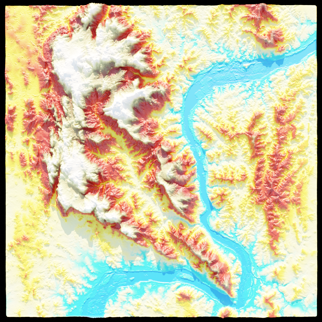
For this project I got Sentinel 2 images from before and after a wildfire disaster in Portugal around the Pedrógão Grande area in central portugal. I first retrieved the Normalized Burn Ratio for the pre and post fire images, and then used those to calculate the dNBR. Following the initial imagery processing I used formula: (NIR-SWIR)/(NIR+SWIR)
The burn severity map results show how some of the small populated towns were completely surrounded by some of the most severe fire, explaining why there so many deaths.