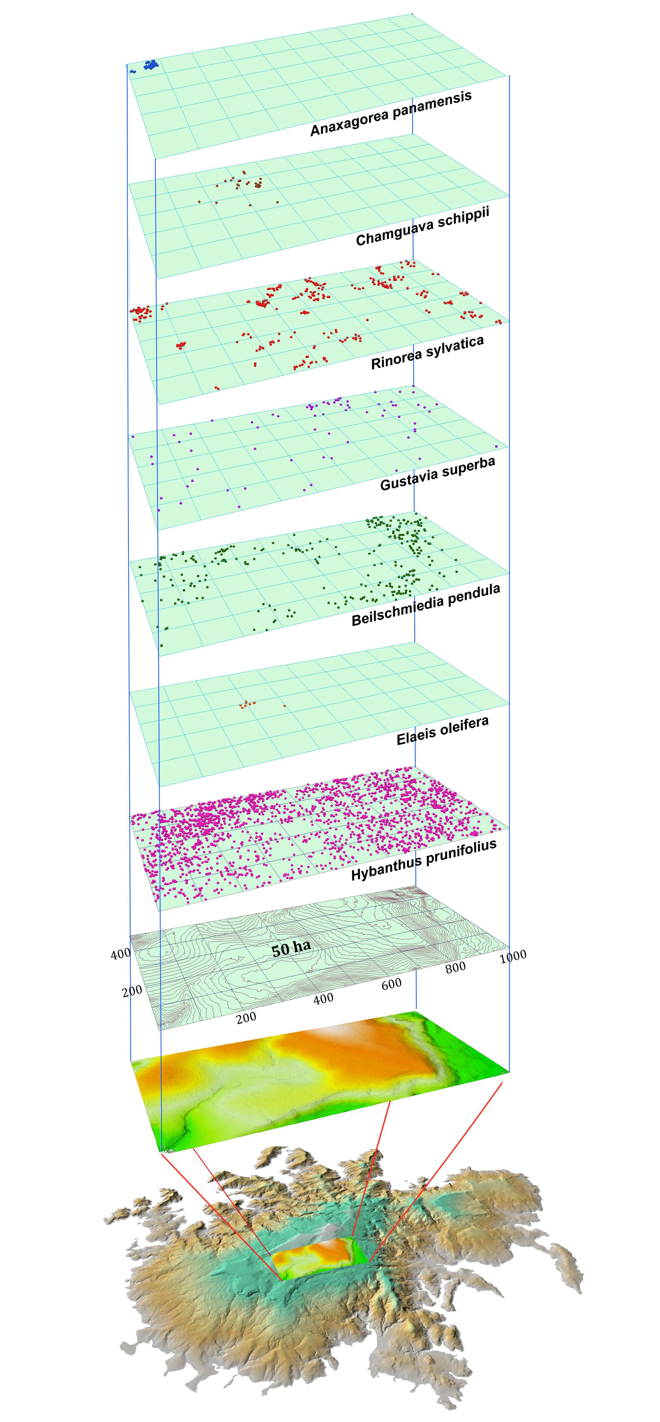
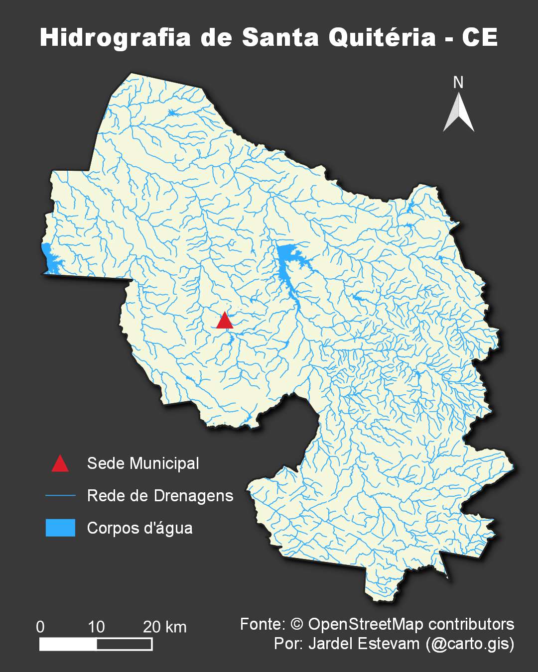
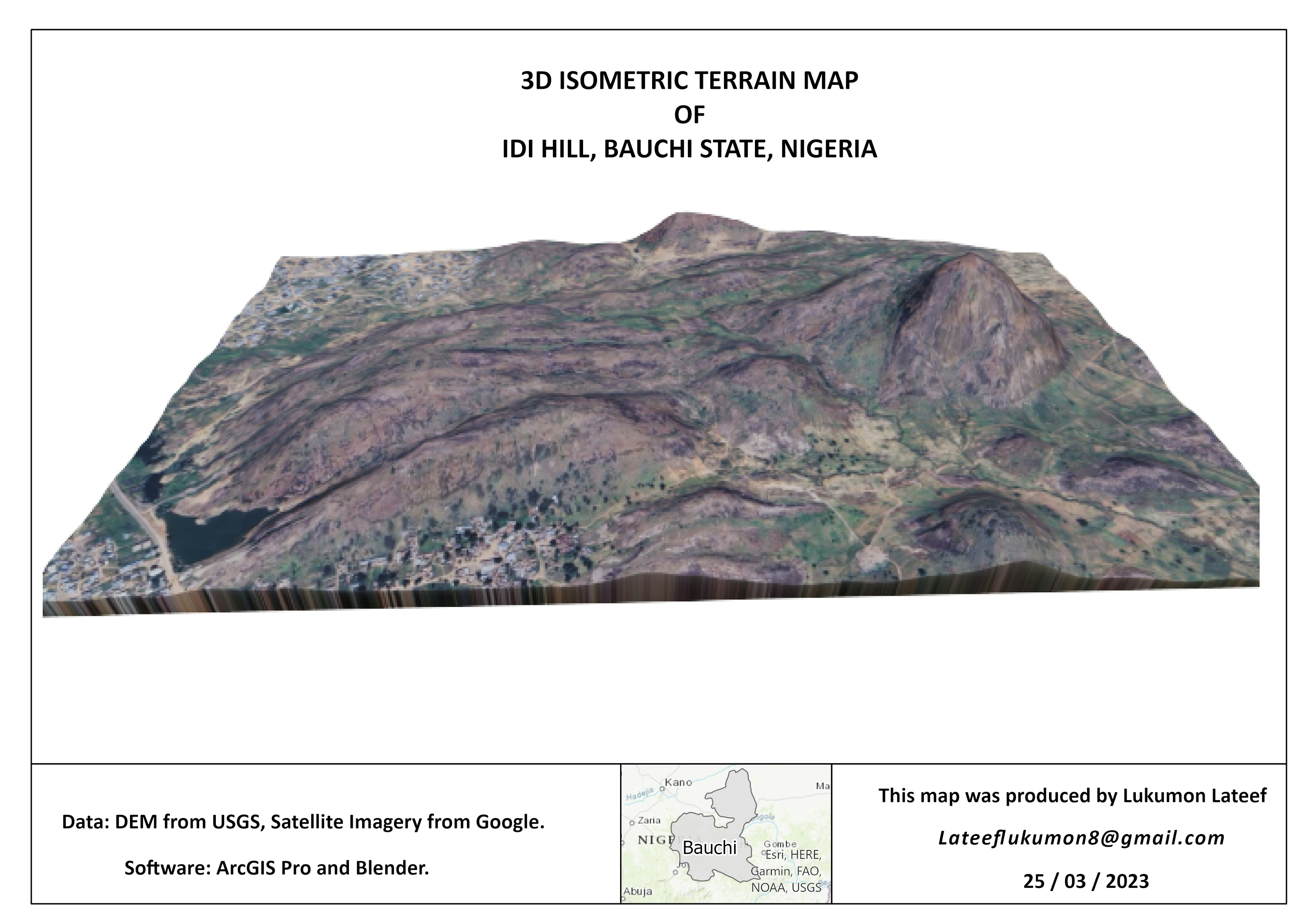
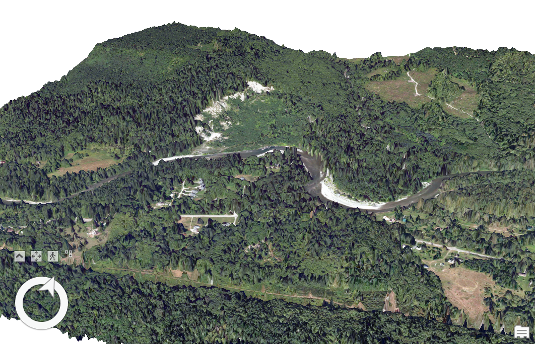
This project aims to perform a spatial analysis for identifying flood-prone areas using raster and vector geospatial data. The study is based on terrain analysis using a Digital Elevation Model (DEM), hydrological features, and derived hydrologic modeling parameters.
The main objective is to identify vulnerable flood zones and assess potential impacts on infrastructure and the surrounding environment.