Flood simulation
This was to help mitigate areas that are prone to floods and action taken ASAP before the effect of flood become severe on area prone to floods
u Flood modelling is a cost-effective tool for informing all aspects of floodplain management. Flood mitigation assessments, land use planning controls, infrastructure design and even flood insurance classifications are all directly impacted by the precision and accuracy of the flood modelling on which they are based.
u In order to lessen the harm caused by floods and to make urban areas robust against such events, flood modelling and analysis have been an important topic of research. The primary goal of this Task is to construct a framework for real-time flood spread visualization and analysis using Position-based fluids to simulate and display flooding in 3D.
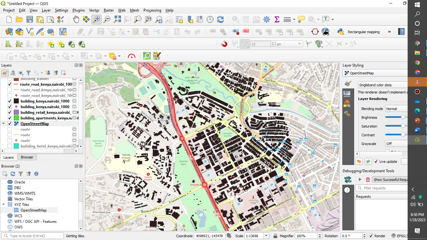
u OPEN ARCMAP
u LOAD THE DEM ( DIGITAL ELEVATION MODEL) OF YOUR AREA OF INTEREST
u CREATE A SHAPE FILE OF WATER LEVEL
CLICK ON CATALOGUE
LOCATE YOUR FOLDER
RIGHT CLICK –NEW – SHAPEFILE FEATURE TYPE AS POLYGON
ENABLE EDITING MODE – CREATE FEATURE –DRAW A RECTANGLE
RIGHT CLICK ON LAYERS –OPEN ATTRIBUTE TABLE-ADD FIELD-WATER_LEVEL
Open ArcTool box, conversion tools, to raster
A dialog box appears input the required inputs and click
apply
u Enable 3D analyst ,customize ,extensions activate extensions
u Click on ArcScene
u Drop the DEM data and the raster on the layers
u On the DEM right click , properties ,go to base heights ,activate float on custom surface – OK
u Right click on the scene layers , scene properties ,click on activate from extent , apply ,OK
u ACTIVATE animation , animation manager , create , source object (water lever raster data ) click create
u Then on translation Z input the lowest water level according to the elevation of the area
u Open animation controls , by duration, Playmode (loop)
u Click PLAY
Application
Mitigation
the process of lessening the harshness, seriousness, or suffering of Flood prone areas