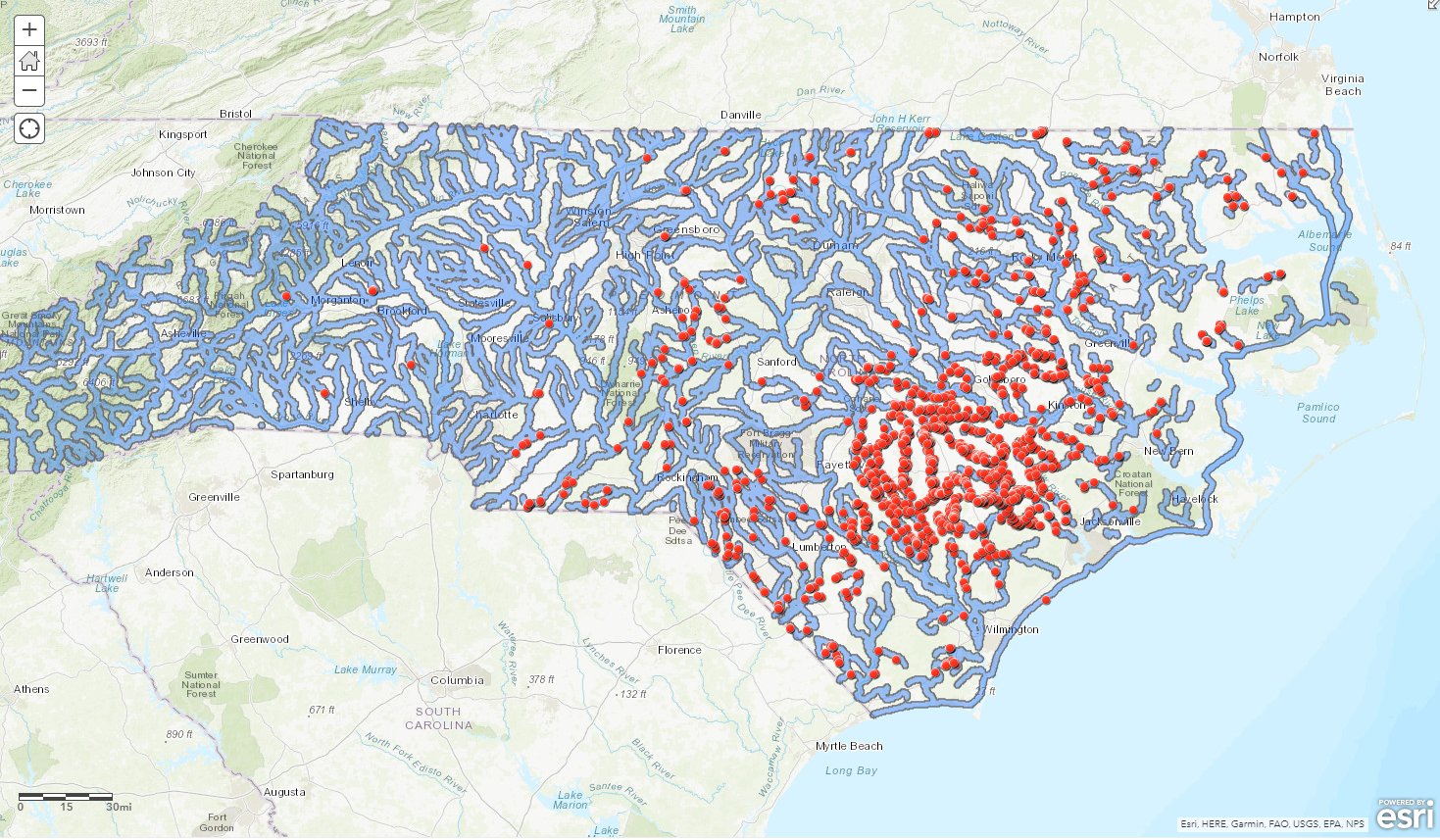
Hypsometry, Drainage, Hydrographic Basin


Tools used
QGIS
More by Fabio Henrique Nunes Mota


You might also like
.jpg&w=3840&q=100)


Join the community!
We're a place where geospatial professionals showcase their works and discover opportunities.
Hypsometry, Drainage, Hydrographic Basin
More by Fabio Henrique Nunes Mota
You might also like
We're a place where geospatial professionals showcase their works and discover opportunities.