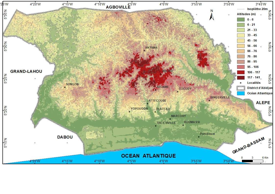
La Carte de Relief du District d'Abidjan

Tools used
ALOS POLSARDEMQGISRASTER PROCESSINGSAGA GIS
tags
Abidjancourbe niveauIsoplèthe MNT 12.5Relief
You might also like


Join the community!
We're a place where geospatial professionals showcase their works and discover opportunities.