
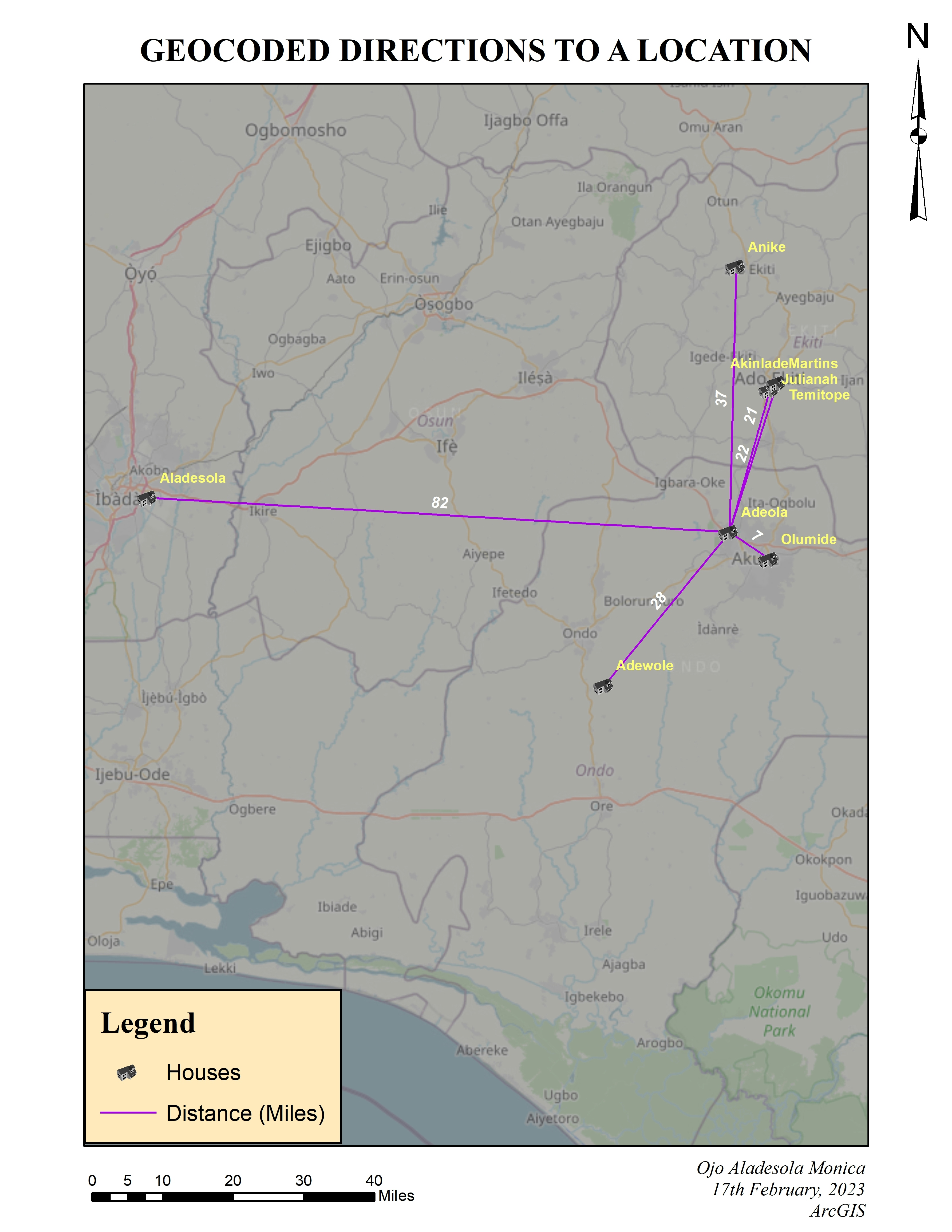
Google Sheets was used to compile the data and geocode the addresses used for this project. The data was exported to ArcMap and used to create the map which shows the directions from different residences to a particular location.
Mapped Geocoded Addresses
Tools used
ArcGISArcMapOpenStreetMap
Plug-ins used
ArcGISArcMapData ManagementLayout ExportOpenStreetMap
tags
ArcGISArcMapCustom Basemps
More by Ojo Aladesola Monica


You might also like


Join the community!
We're a place where geospatial professionals showcase their works and discover opportunities.