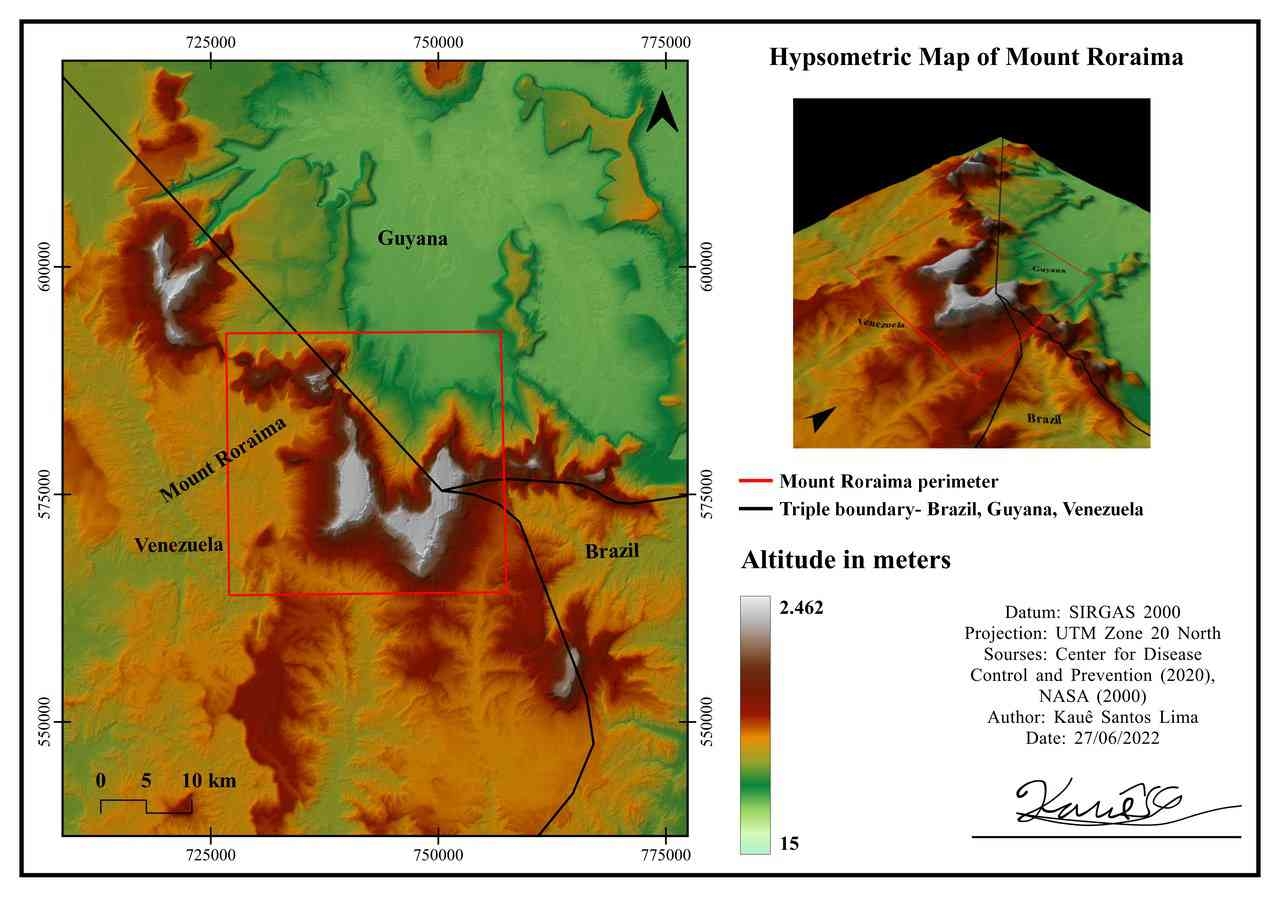
This map presents the elevation distribution of the Bucegi Mountains, Romania, using the SRTM 30 Digital Elevation Model (DEM). Elevation values are represented through a hypsometric color scale, ranging from lower valleys to the highest alpine peaks, providing a clear visualization of the region's topographic variability.
To enhance terrain interpretation, a hillshade layer was combined with the DEM, emphasizing landforms such as ridges, valleys, and steep slopes. Additional vector layers, including hydrography and mountain peaks, provide geographic context and improve map readability.





.png&w=3840&q=100)