

Map created for a timed (90 minute) midterm practical in my Introduction to Geospatial Technology class through Foothill College. Midterm tasks included downloading shape files, building a map in QGIS, filtering census data, buffering XY point data, and creating a PDF map of the final analyses.
Midterm Map for GIST12
Tools used
QGIS
Plug-ins used
None
tags
BuffersQGIS
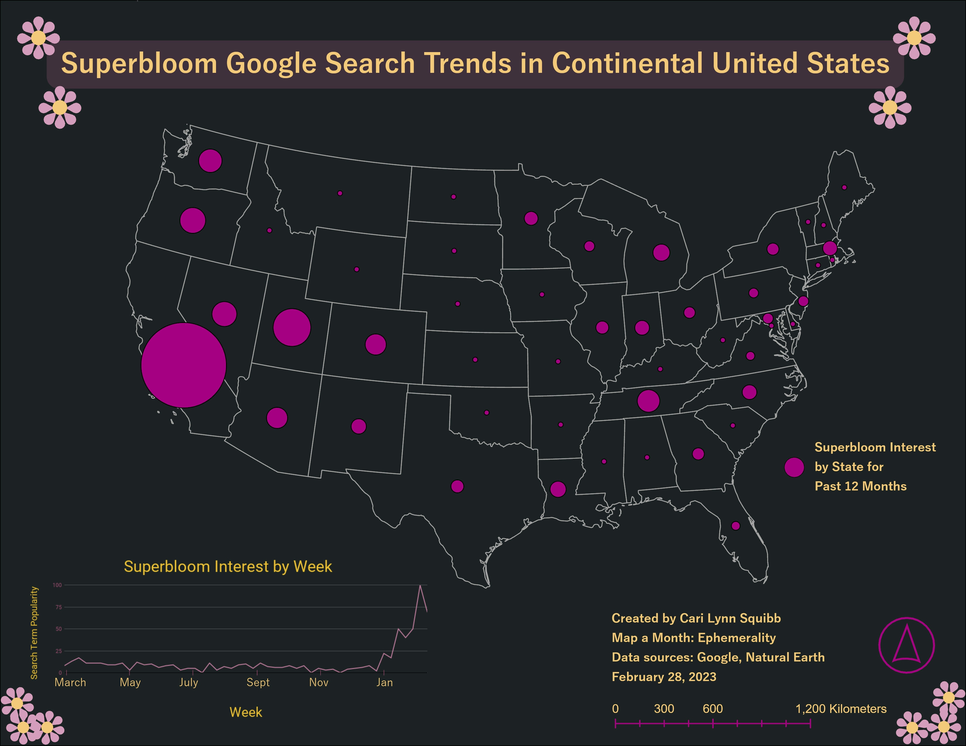
More by Cari Lynn Squibb


You might also like


.png&w=3840&q=100)
.png&w=3840&q=100)
.png&w=3840&q=100)


Join the community!
We're a place where geospatial professionals showcase their works and discover opportunities.