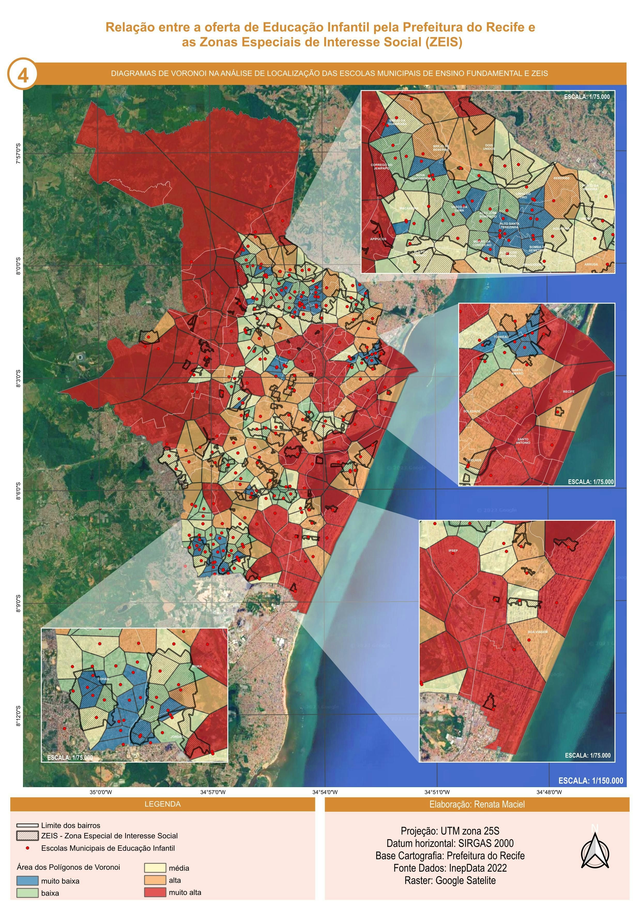
This project aims to create a choropleth map representing population density across European NUTS2 regions using GIS technologies. The study highlights the spatial distribution of population and the demographic differences between European regions.
Population density is an important indicator in territorial analysis, reflecting the concentration of population relative to the area of a region. Analyzing this indicator allows the identification of highly urbanized areas, metropolitan regions, and sparsely populated territories.