
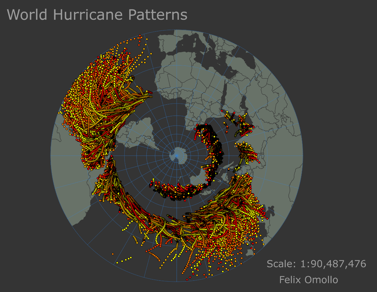
This map displays the areas in the world that are most affected by hurricanes, providing valuable insight into the patterns and trends of these devastating natural disasters. This map can help policymakers, emergency responders, and citizens better prepare for and respond to hurricanes when they occur. Whether you live in a hurricane-prone area or simply want to learn more about this powerful force of nature, this map provides a fascinating and informative look at the world of hurricanes.
World Hurricane Patterns
Tools used
ArcGIS Pro
Plug-ins used
Geoprocessing Tools
tags
CARTOHurricanesMAPPINGworld worldmap
More by FELIX OMOLLO


You might also like


.svg "Keran Nkongolo")


Join the community!
We're a place where geospatial professionals showcase their works and discover opportunities.