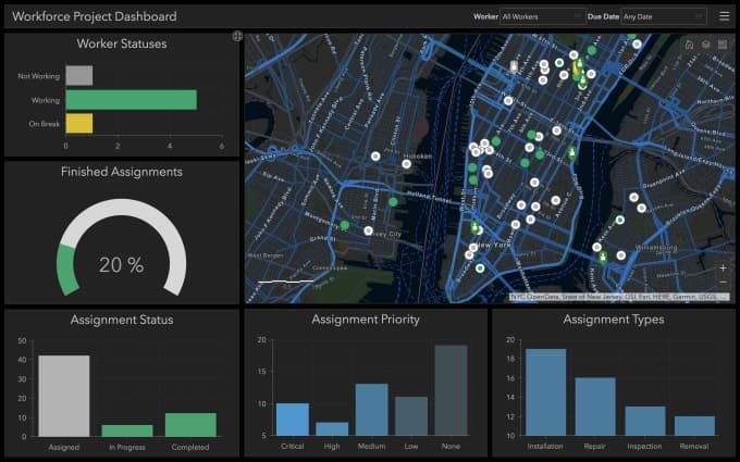
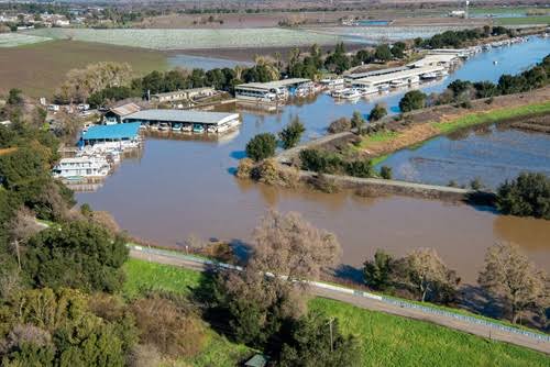
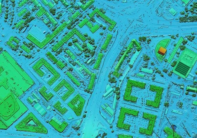
Geospatial data engineering is an essential component of modern data analytics, particularly in the domain of geographic information systems (GIS). Geospatial data refers to information that has a geographic component, such as GPS data, satellite imagery, and maps. This data is often complex and diverse, which requires specialized techniques to manage and analyze it effectively. In this article, we will explore the ETL (extract, transform, load) process for geospatial data engineering and the tools that can be used at each stage of the process.
Why Geospatial ETL
Geospatial Extract, Transform, Load (ETL) is indispensable for building spatial data infrastructure and large databases for analytics because it integrates diverse sources, assures data quality, ensures compatibility, optimizes performance, supports spatial analysis, enables centralized storage, and enhances decision support, business intelligence, and scalability. ETL processes address the challenges of data integration, quality, and format compatibility while optimizing performance for efficient spatial analysis and supporting the creation of a reliable foundation for various applications and analytics.
ETL Process for Geospatial Data Engineering
The ETL process is a fundamental component of geospatial data engineering. It is a three-stage process that involves extracting data from one or more source systems, transforming the data to fit the desired format, and loading the data into a target system. The ETL process is essential for converting raw geospatial data into a usable format for analysis and visualization. The following are the stages of the ETL process:
The Geospatial ETL Process
Extraction: The first step in Geospatial ETL is the extraction of data from its source. This source can be a database, a web service, a satellite sensor, or any other data repository. Extracting data involves retrieving geospatial information in its raw form.
Transformation: Once the data is extracted, it often needs to be transformed to ensure consistency and compatibility. This transformation may involve tasks like coordinate system conversion, data format conversion, data validation, and data enrichment. For example, converting latitude and longitude coordinates to a projected coordinate system suitable for mapping applications.
Loading: After the data is extracted and transformed, it is loaded into a GIS database or system where it can be accessed and analyzed. Loading may also involve indexing and optimizing the data for faster retrieval.
Critical Applications of Geospatial Data Engineering in GIS Ecosystem
Geospatial Data Engineering is essential in various areas within the Geographic Information Systems (GIS) space. Here are key areas where Geospatial Data Engineering is crucial:
Data Acquisition and Integration: Collecting and integrating geospatial data from diverse sources, such as satellite imagery, GPS devices, and other sensors, requires robust data engineering processes.
Data Cleaning and Quality Assurance: Geospatial data often contains errors, inconsistencies, and outliers that need to be identified and addressed.
Data Transformation and Standardization: Converting geospatial data between different formats and standards to ensure consistency and interoperability.
Database Design and Management: Designing and managing geospatial databases to efficiently store and retrieve spatial data.
Spatial Indexing and Query Optimization: Creating spatial indices and optimizing queries to enhance the speed and efficiency of spatial data retrieval.
ETL Processes for Spatial Data Warehousing: Extracting, transforming, and loading geospatial data into data warehouses for centralized storage and analysis.
Real-Time Geospatial Data Processing: Handling and processing real-time geospatial data from sources like IoT devices and sensors.
Geospatial Analytics and Modeling: Implementing algorithms and models for advanced geospatial analytics, such as spatial analysis, predictive modeling, and machine learning.
Geospatial Data Security and Privacy: Implementing measures to secure geospatial data and protect privacy concerns, especially when dealing with sensitive information.
Data Migration and Pipeline Building: Migrating geospatial data between systems and building robust data pipelines, both in streaming and batch processing.
Conclusion
Geospatial Data Engineering plays a critical role in various aspects of GIS, from data acquisition to analysis, visualization, and ensuring the security and privacy of geospatial information. It is fundamental for building robust and effective GIS solutions across different industries and applications.


.jpeg&w=3840&q=75)

