Introduction
Recently, AI has been rapidly evolving in the geospatial industry, playing an increasingly important role in tasks such as image recognition, geospatial data collection, analysis, and management.
Artificial intelligence in geospatial technology, also known as Geospatial AI (GeoAI), involves the incorporation of AI technologies with various GIS processes, including spatial data processing and analysis algorithms. Geospatial data collection and analysis have historically required a great deal of time and have been prone to human error. The revolution of AI in the geospatial industry is transforming the way we collect, analyze, and use geospatial data. AI is enabling us to process and analyze vast amounts of geospatial data at an unprecedented speed, driving new insights and applications across the industry and allowing professionals to work more efficiently and accurately while saving both time and money.
Trends in AI and the Geospatial Industry (GeoAI)
Real-Time Data Processing: In the past, geospatial data was difficult to obtain, time-consuming, and expensive. However, with the availability of geospatial data, such as weather and traffic data, increasing tremendously and being widely used by individuals and organizations, there is a need for AI algorithms that can quickly process and analyze data to make timely, insightful, and accurate decisions. The ability to process and visualize millions of rows of data in seconds, identifying patterns and insights that might be difficult or impossible to detect through manual analysis, is one of the key trends of AI in the geospatial industry.
Automation: Using AI algorithms to automate is one of the key trends in the geospatial industry. Analysts perform all kinds of operations in the geospatial industry, such as clipping, reprojecting, buffering, merging, mosaicking, extraction, and other kinds of geoprocessing, on data to make it useful for providing solutions. Doing analysis with a large amount of data manually can be time-consuming and prone to human error, but automation makes work easier, faster, and more accurate, as an automated task is configured and can be trusted to perform the same sequence of steps for potentially numerous series. A simple example with no coding requirements is ModelBuilder in GIS software. If you perform a series of the same kind of analysis frequently, ModelBuilder is a great way of automating your tasks. Other automation tasks require computer programs and scripts. There are special scripting languages for writing scripts, including Python, JScript, and Perl, and GIS software supports various scripting languages for working with its tools, with an emphasis on Python. A recent automation option is the ArcGIS API (Application Programming Interface) for Python, in which Python scripting is better integrated with Esri's cloud- and server-based technologies (ArcGIS Online, Portal for ArcGIS, and ArcGIS Enterprise).
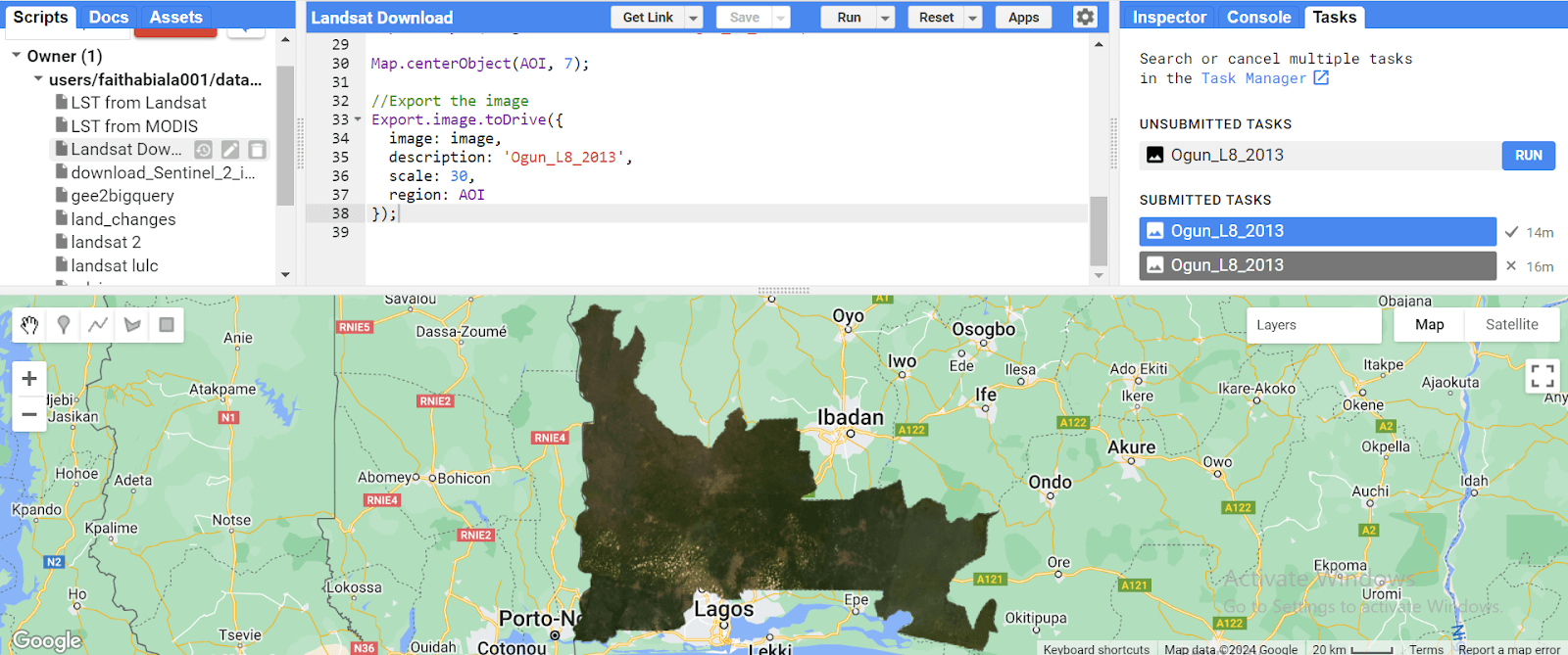
Cloud Computing: The geospatial industry has recently adopted cloud-based systems. The cloud computing model is rapidly becoming established for professionals working with medium- and large-scale geospatial data, and they are now making use of cloud-based systems to access various geospatial data on the web. These systems provide the computational power and storage needed to generate, process, analyze, and store large volumes of geospatial data, which enables users/professionals to freely access, adjust, analyze, buy and sell geospatial data over the internet efficiently, and easily share their data and combine it with other shared data, fostering community and collaboration. Organizations no longer have to install complex infrastructures to expand the capabilities of their system — they can just upgrade with a few clicks of a button. This also reduces the risk of old or corrupted local versions of data being used in data analysis processes and increases the efficiency of data storage. Google Earth Engine, Amazon Web Services (AWS), and Esri's ArcGIS Online are all widely used cloud-based platforms in the Geospatial industry.
Applications
There are numerous applications of AI in the Geospatial Industry
Precision Agriculture: Thanks to the revolution of AI in the Geospatial Industry, agriculture can now be done in a sustainable, effective, less time-consuming, and precise manner. Drones and satellite imagery can be used to collect real-time data about the soil and crops. GeoAI can be used to analyze these images and predict crop yields, soil moisture, and other factors that can impact agricultural productivity.
Disaster Response: AI algorithms can be used to analyze satellite imagery to identify areas that have been affected by a disaster and predict the impact of natural disasters, such as hurricanes and earthquakes. GeoAI can help to improve disaster response and recovery efforts, minimize the impacts, and save lives.
Urban Planning: GeoAI can be used to analyze geospatial data and gain insights into land use patterns, trends, and urban growth, to provide insights that can inform city planning and management decisions. GeoAI can use satellite imagery to detect changes in land use and urbanization, such as the expansion of transportation networks or the growth of new urban areas.


.jpeg&w=3840&q=75)


