

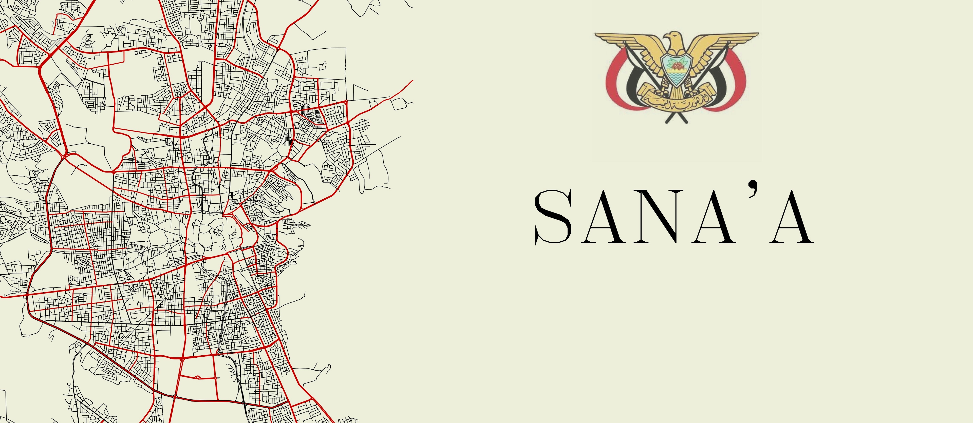
This was an exploration of the potential of using GIS tools in with specialized 3d design tool to produce more appeal 3d maps.
- QGIS and Blender were used as the main software
- *The Historic map, from the 19th century, needed georeferencing*
- SRTM v4.1 DEM (90 m resolution ) was used for terrain creation
- Lightening and terrain exaggeration was performed in blender
*Unfortunately, I lost track of the source for the historic map, as I was playing around at the time and I did not intend to publish the final work


")


