

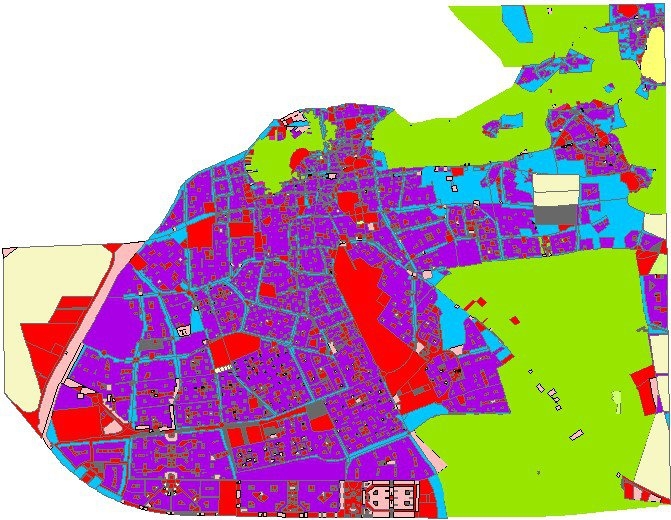
A webapp was created to identify riverfront land parcels that had access to the Great Lakes. All parcels are below the first river boundary (i.e dams).
Fishing Access to the Great Lakes
Tools used
ArcGIS Online
Plug-ins used
None
tags
#greatlakes
You might also like


Join the community!
We're a place where geospatial professionals showcase their works and discover opportunities.