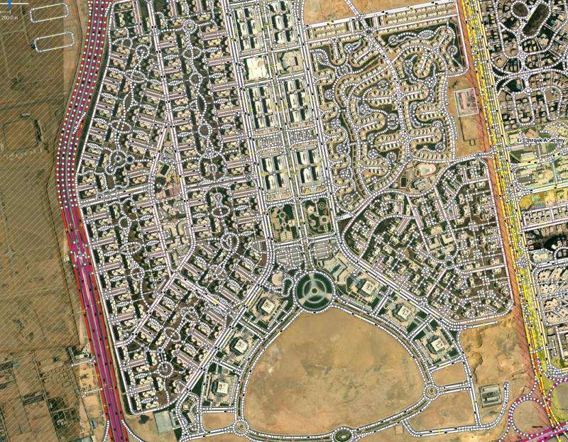
New Cairo Neighborhood Mapping Project


Tools used
ArcGIS Proattribute joinspatial joinTable to Excel
Plug-ins used
osmdataportable
tags
CartographyGISmodern mapSpatial analystSpatial Modelling
You might also like


_645201.jpg&w=48&q=40 "Eguagie-suyi Precious")


.png&w=3840&q=100)

Join the community!
We're a place where geospatial professionals showcase their works and discover opportunities.