
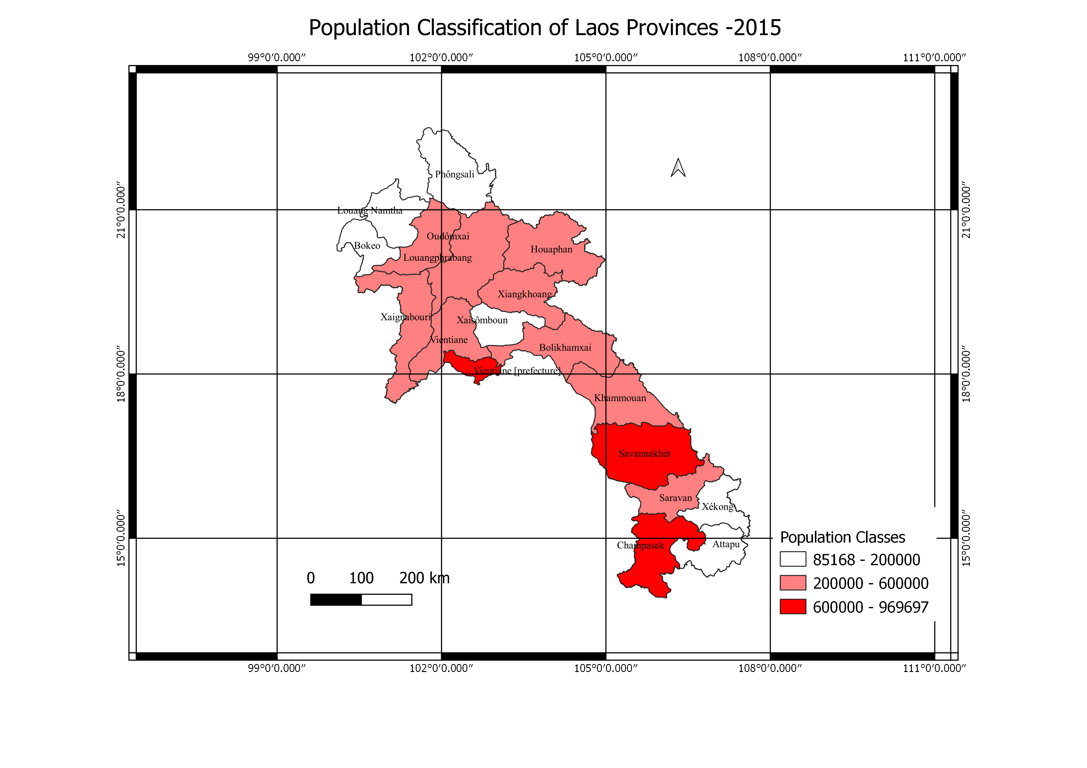
Visualization of the different classes of population in Laos Province
Population classification of Laos
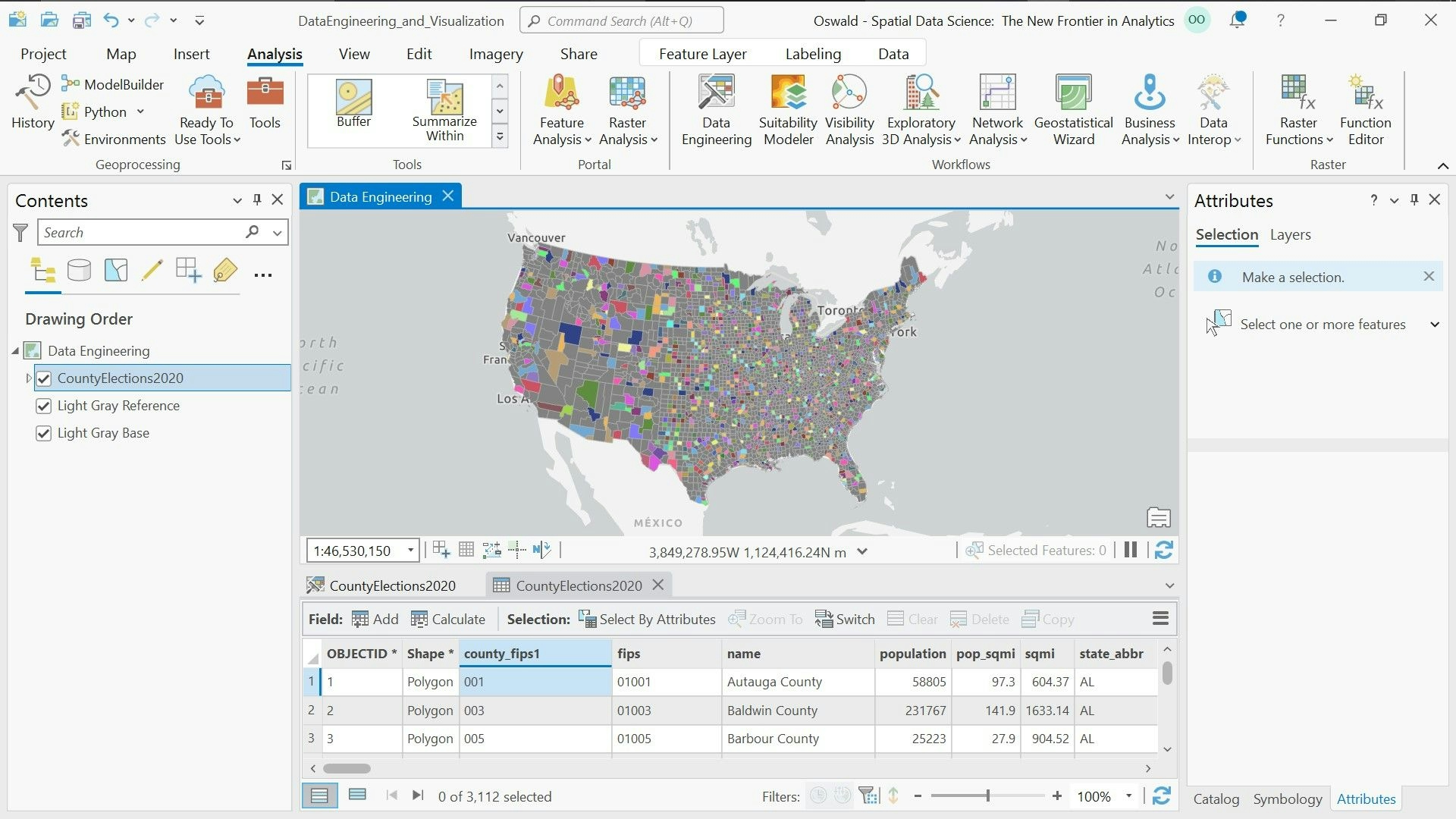
Plug-ins used
QGIS
tags
PopulationDensityQGISSpatial Data Science visualization
You might also like


.svg "Keran Nkongolo")


Join the community!
We're a place where geospatial professionals showcase their works and discover opportunities.