Sign up or log in to your Spatialnode account.

Takes less than a few seconds.

Um teste

João Batista Firmino Júnior
João Batista Firmino Júnior•

December 31, 2021

Um teste

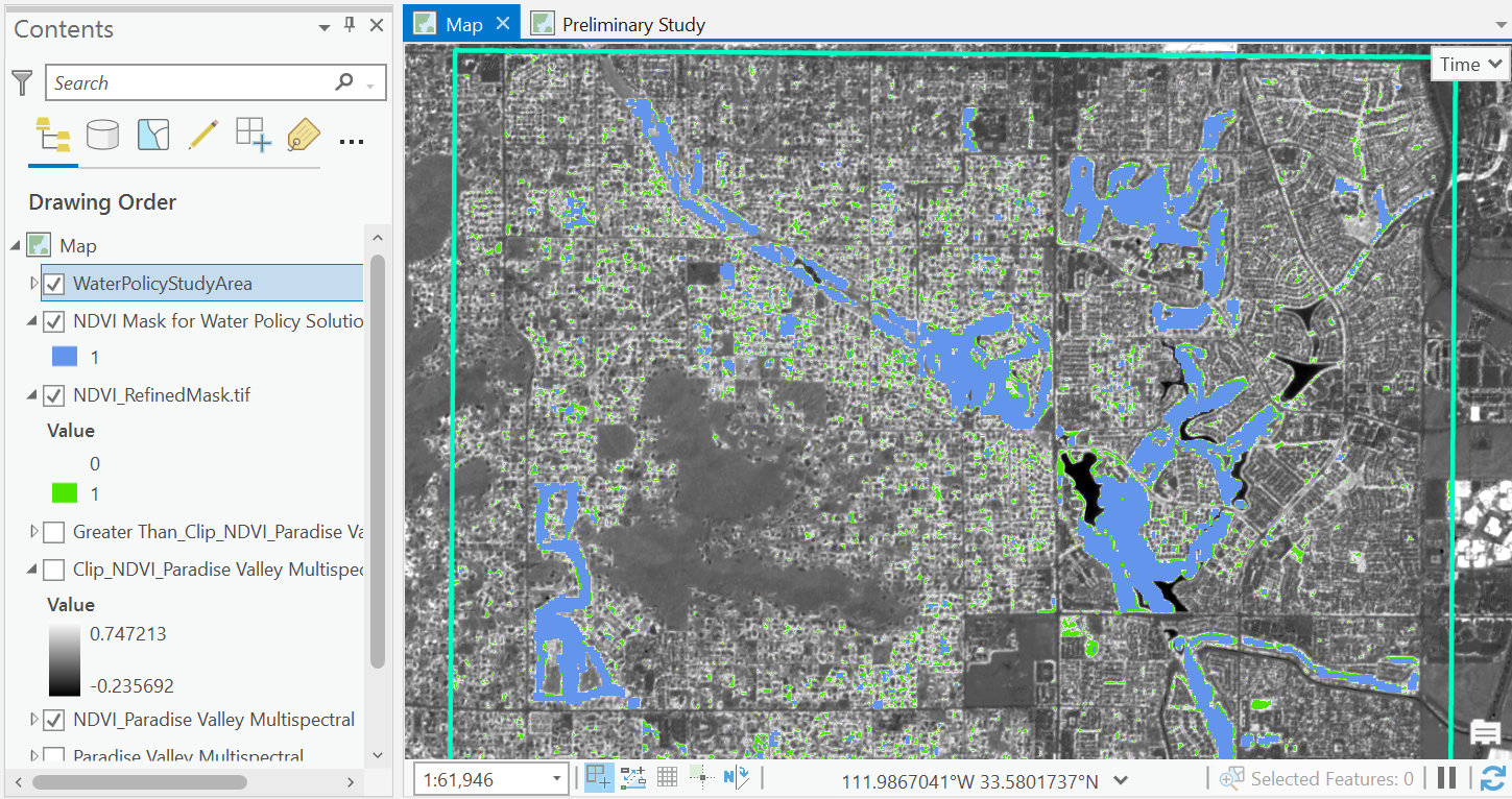
Um teste em que pretendo descobrir formas de melhorar esse tipo de tarefa e de resultado.


Tools used

QGIS

Plug-ins used

GRASS GIS

tags

GRASS GISQGIS

You might also like

La Carte de Relief du District d'Abidjan
NJEUGEUT MBIAFEU AMANDINE CARINE
La Carte de Relief du District d'Abidjan
NJEUGEUT MBIAFEU...
78
Humaitá - àreas queimadas - 15 anos
Gabriel Bentes Alho
Humaitá - àreas queimadas - 15 anos
Gabriel Bentes Alho
46
Liberty Ibadan Street Map
Emeka Ude
Liberty Ibadan Street Map
Emeka Ude
34
Digital elevation modelling
Onyeakagbuna Amos
Digital elevation modelling
Onyeakagbuna Amos
7
Declividade em Área de Manejo Florestal
Marina Martins de Almeida
Declividade em Área de Manejo Florestal
Marina Martins...
6
Mapa de Localização da RMM de Manaus/AM
Ana Carolina Gomes Correa
Mapa de Localização da RMM de Manaus/AM
Ana Carolina...
71
Search and Rescue Simulation Task File
Zach Torres
Search and Rescue Simulation Task File
Zach Torres
142
2024 LULC, South-South Zone of Nigeria
Paul Ugbong
2024 LULC, South-South Zone of Nigeria
Paul Ugbong
5
Hawaiian Resort Vegetation Map
Reese Dresch
Hawaiian Resort Vegetation Map
Reese Dresch
26
Avalanche Risk Around Mt. Baker Ski Area
Drew S
Avalanche Risk Around Mt. Baker Ski Area
Drew S
33
Making Attractive Maps
Stewart Berry
Making Attractive Maps
Stewart Berry
422
Aquífero Alter do Chão, Brasil
Lucas de Morais Teixeira
Aquífero Alter do Chão, Brasil
Lucas de...
55

Join the community!

We're a place where geospatial professionals showcase their works and discover opportunities.

Sign Up for free