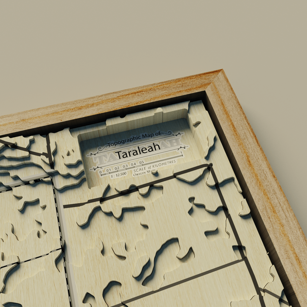
Some weeks ago, OriginMaps, a company that produces 3D wooden maps, assigned me the task of creating a prototype 3D wooden map model in a frame to show to clients. This model will aid clients in decision-making and provide a clear understanding of the final product. I had never created a model of a 3D wooden map before, and it was quite complicated due to limitations such as:
i. My computer's performance,
ii. The size of the data,
iii. The software to be used.
However, these were challenges that I could overcome. I promised myself.
Three software programs were used to create this model: QGIS, Photoshop, and Aerialod.
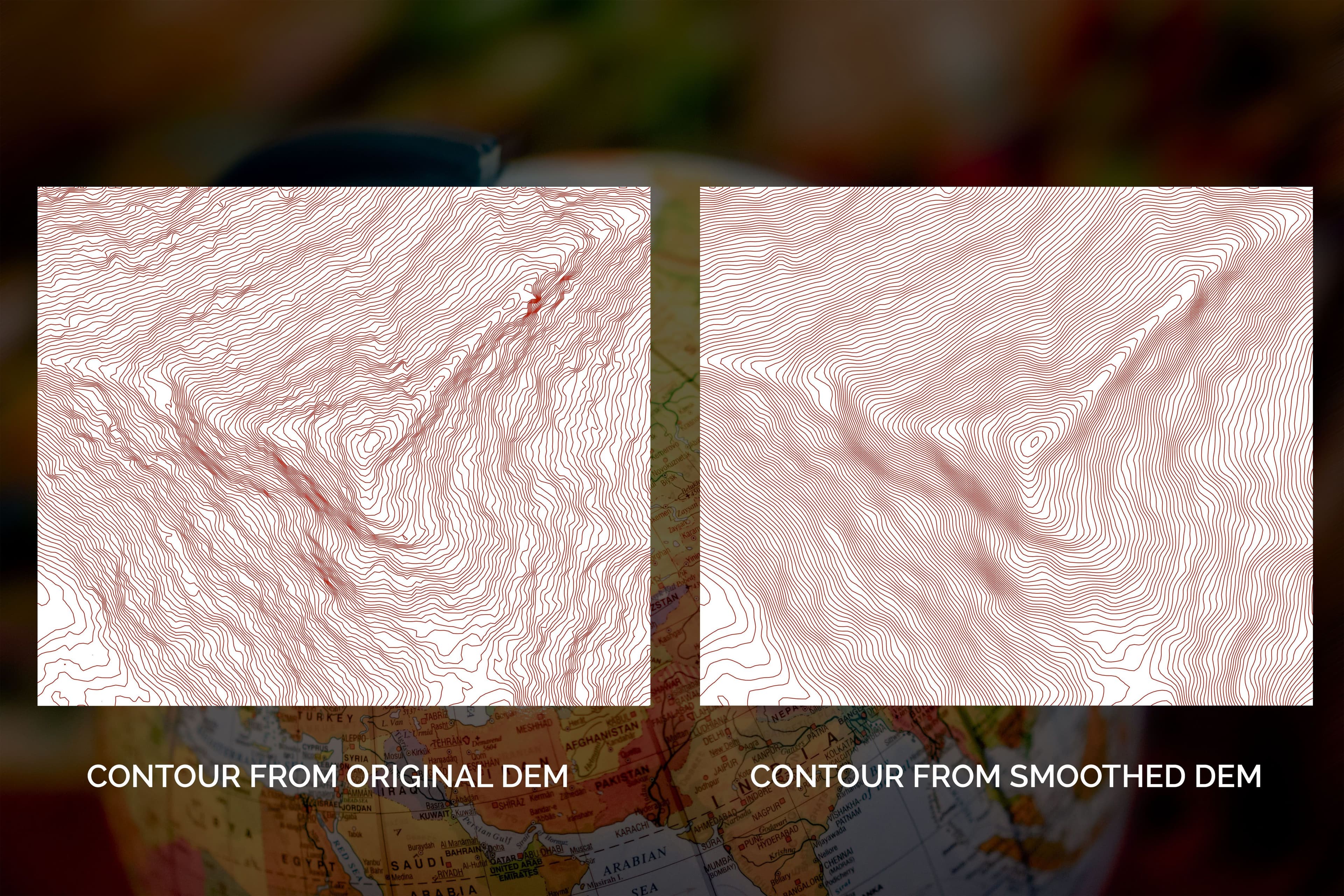
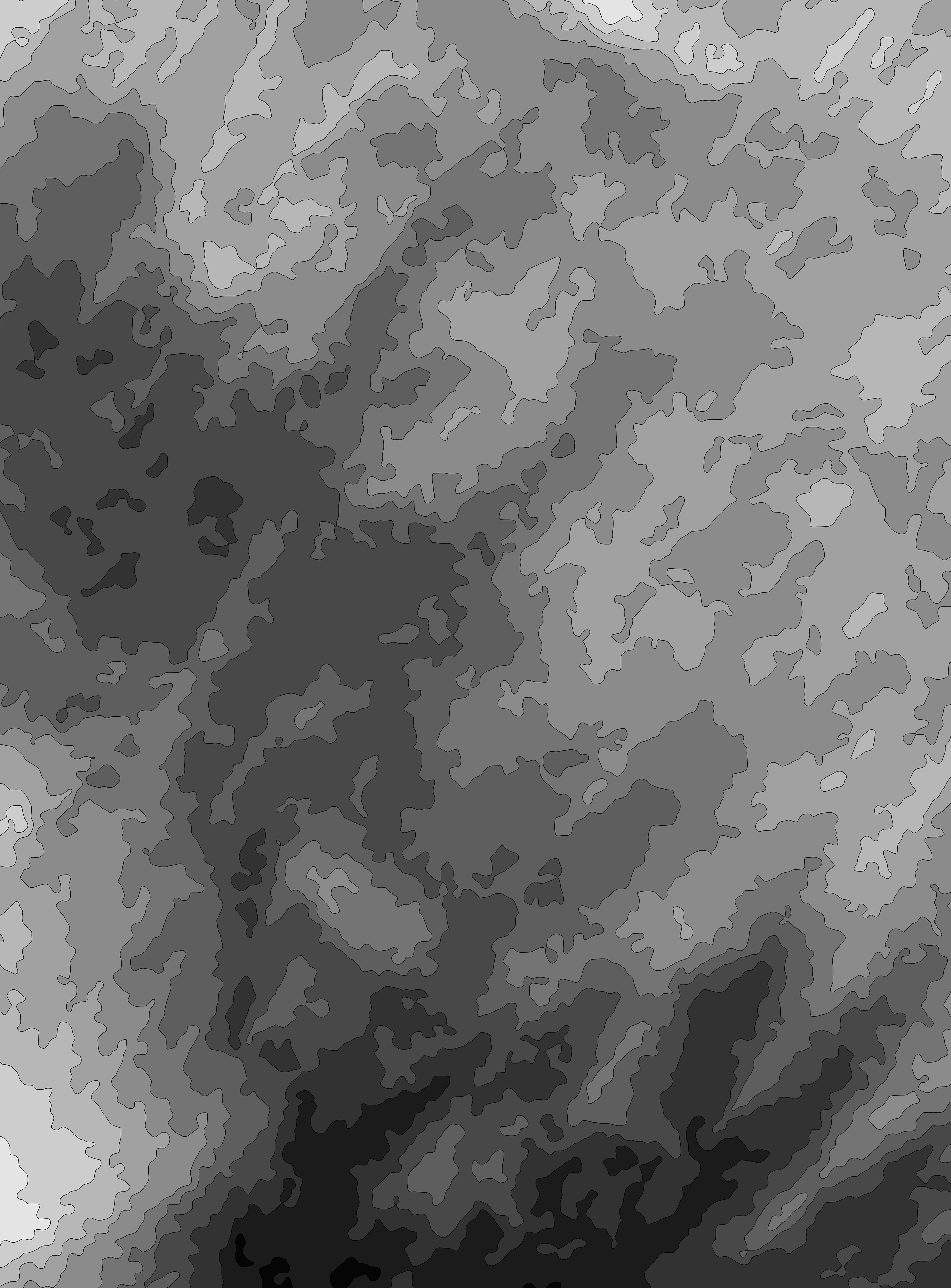
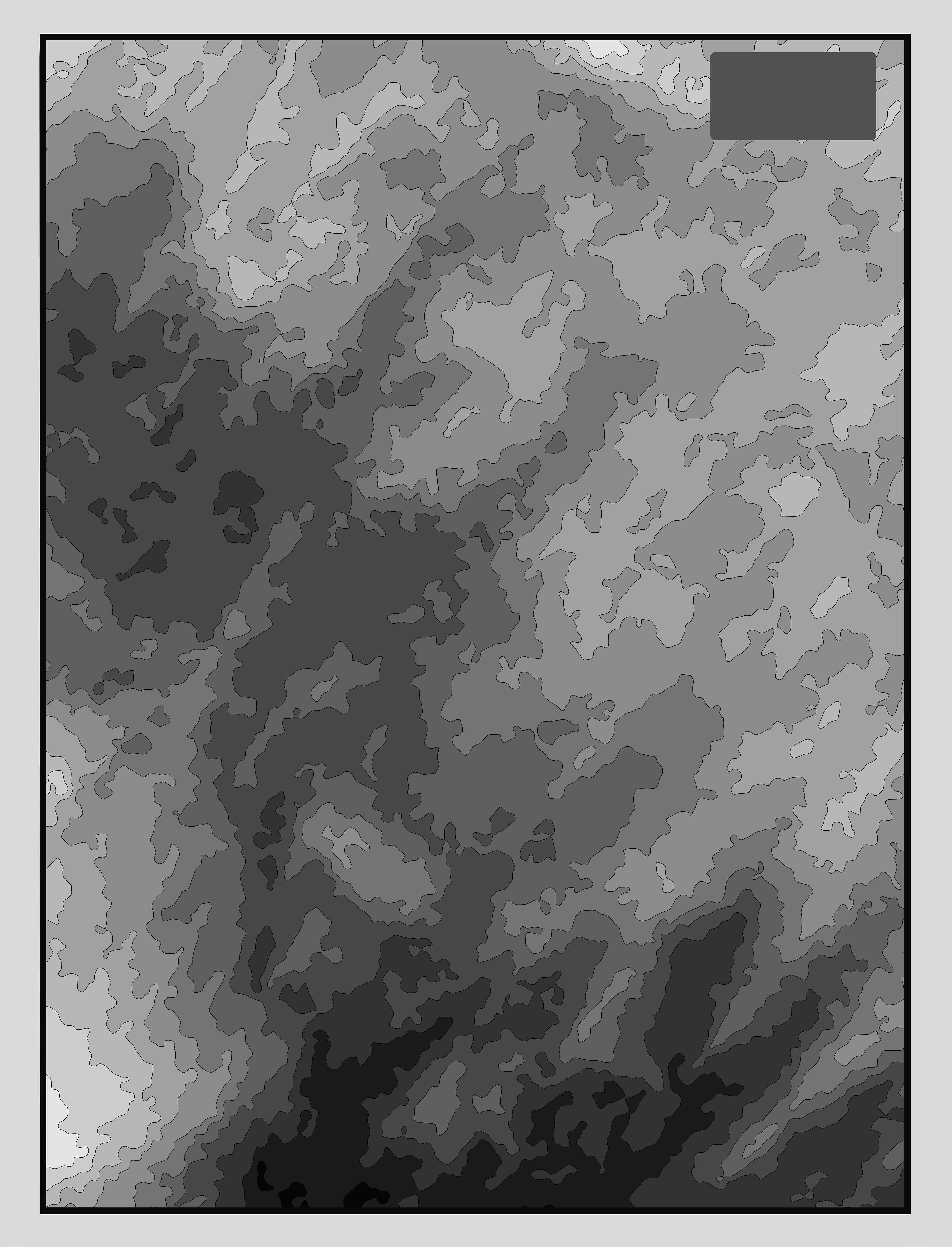
QGIS was used for preprocessing the elevation data. This included reprojecting, resampling, clipping, and rescaling the data, and converting data from raster to polygon while maintaining the grayscale color. This was the initial stage of the project.
After converting the elevation data to polygons while maintaining its grayscale color, the polygon map was designed in a presentable way in the QGIS layout and exported as a PNG.
Photoshop was used for further preparation of the exported map, such as adding a gray frame to the edge of the elevation map. An overlay map was also prepared. This map was overlaid on the 3D elevation map in Aerialod.

Note: The layout size of the elevation map and the overlay map must be the same. If you are creating your own, ensure they match.
Aerialod was used for creating the 3D map model. The elevation map was imported into the 3D software. The camera, sun angle, shadow, and scale of the map were adjusted. Then, the prepared map containing the roads and seamless wooden texture was overlaid on the elevation map.