

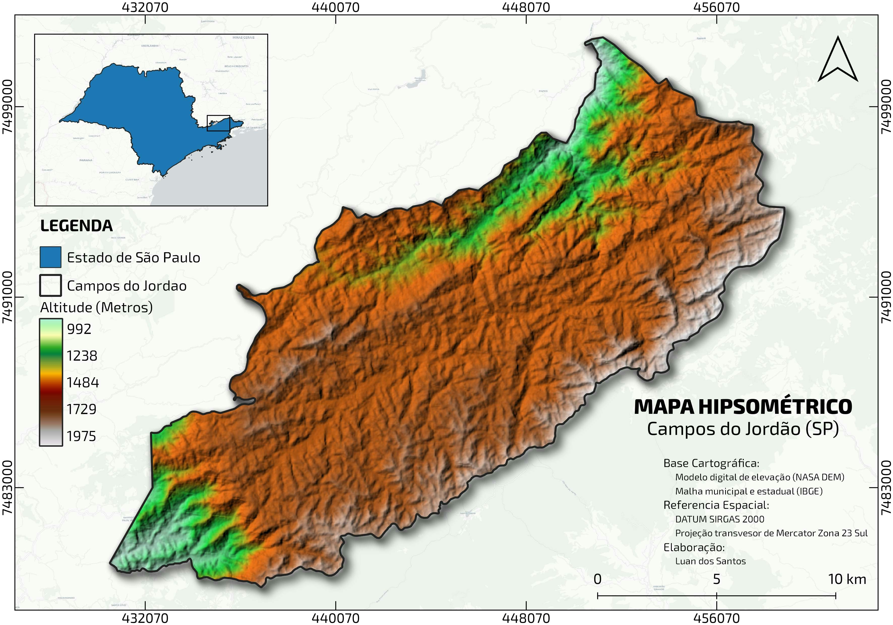
The floodplain delineation project focused on identifying areas prone to flooding within Adamawa state. The process began with collecting high-resolution elevation data (satellite imagery) to model the terrain and water flow. Key steps included preprocessing digital elevation models (DEM) to ensure data accuracy, identifying watershed boundaries, and simulating hydrological events under different scenarios. This analysis aimed to pinpoint vulnerable zones for effective flood risk communication and mitigation planning.
Floodplain in Adamawa State
Plug-ins used
Data Managementraster calculatorSpatial analyst
tags
flood riskHydrologySpatial Analysis
More by Ireoluwa Orodiji


You might also like


Join the community!
We're a place where geospatial professionals showcase their works and discover opportunities.