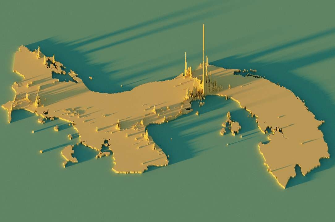
Story
Laguna la Yeguada is an ancient volcanic crater, part of La Yeguada stratovolcanic complex, active from the Miocene to the Quaternary. It is believed that the last eruption occurred about 220,000 years ago. The lagoon is around 1,125 km2, and with an average depth of 6.5 meters, surrounded by more than 2,000 acres of Caribbean pine forest.
Technique
For this map, I am using Blender for the elevation data, and the colour map was made using ArcGIS Pro, where contour lines were generated and labelled. My intention with this map was simply to take a look at how the lagoon basin would look, and it turned out quite good!


_2239484.png&w=3840&q=100)