Story
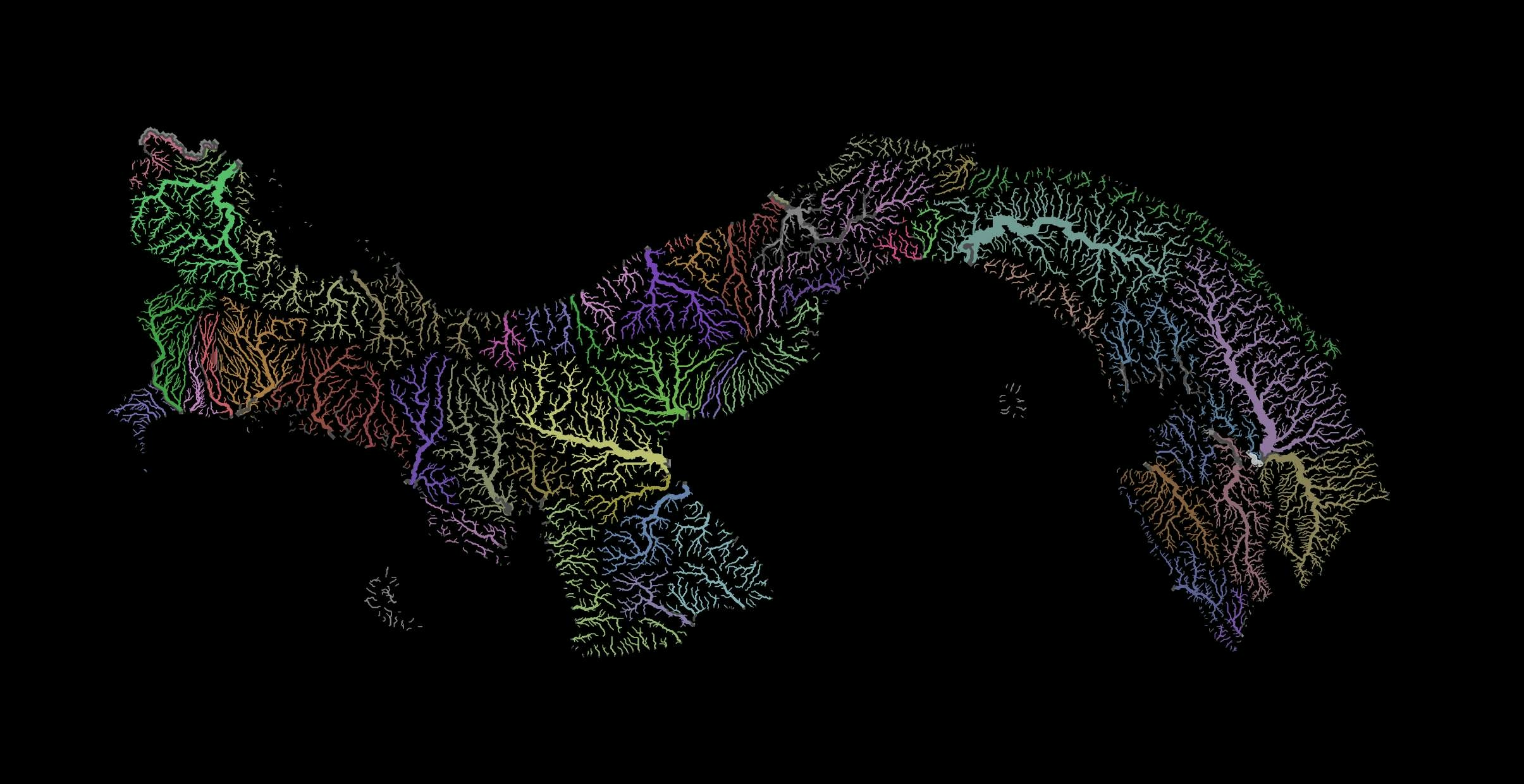
Panama has an approximate of nearly 500 rivers, these rivers are short and fast-flowing, shaping the national geography. Their origins lie in mountainous areas where precipitation is abundant. Panama's hydrography is divided into 52 river basins where 18 of them drain their waters into the Caribbean sea, and the rest into the Pacific Ocean.
Technique
For this particular technique, I tried replicating a "media-hyped colour" with this tutorial. The method consists of applying random multicolours into the different watersheds, and on top, the rivers vector file with blending transparency. The basins data is from www.sinia.gob.pa and the river network is from Hydrosheds.org.


_2239484.png&w=3840&q=100)