

This project was done to determine the wind pressure along the coast of Ondo State between 2010 and 2020, along with the land use land cover of the area.
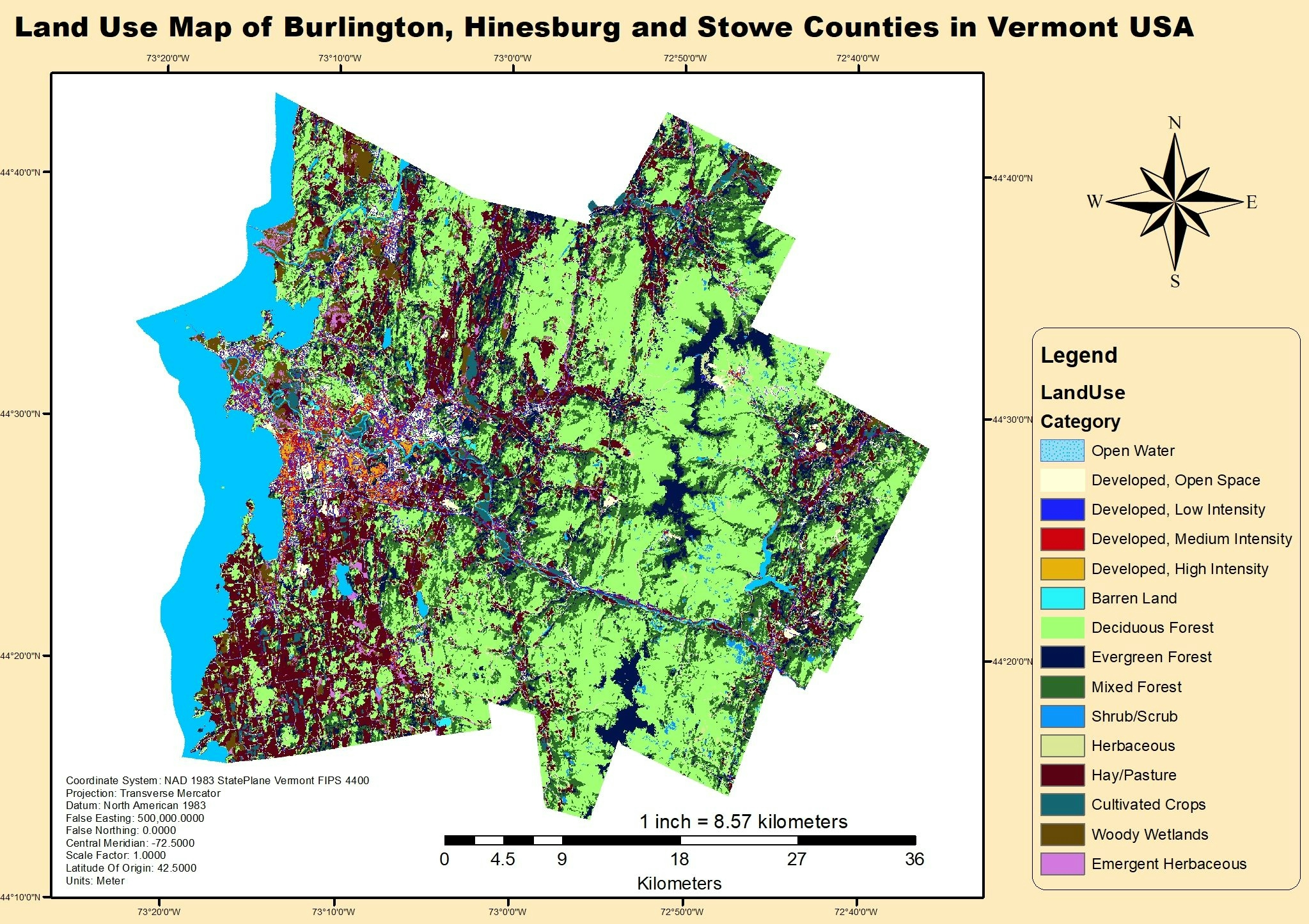
LULC and Wind direction map.
Plug-ins used
ArcGISLULCSpatial analyst
tags
ArcMapland coverLULCWind
More by Oswald Onimhawo


You might also like


Join the community!
We're a place where geospatial professionals showcase their works and discover opportunities.