
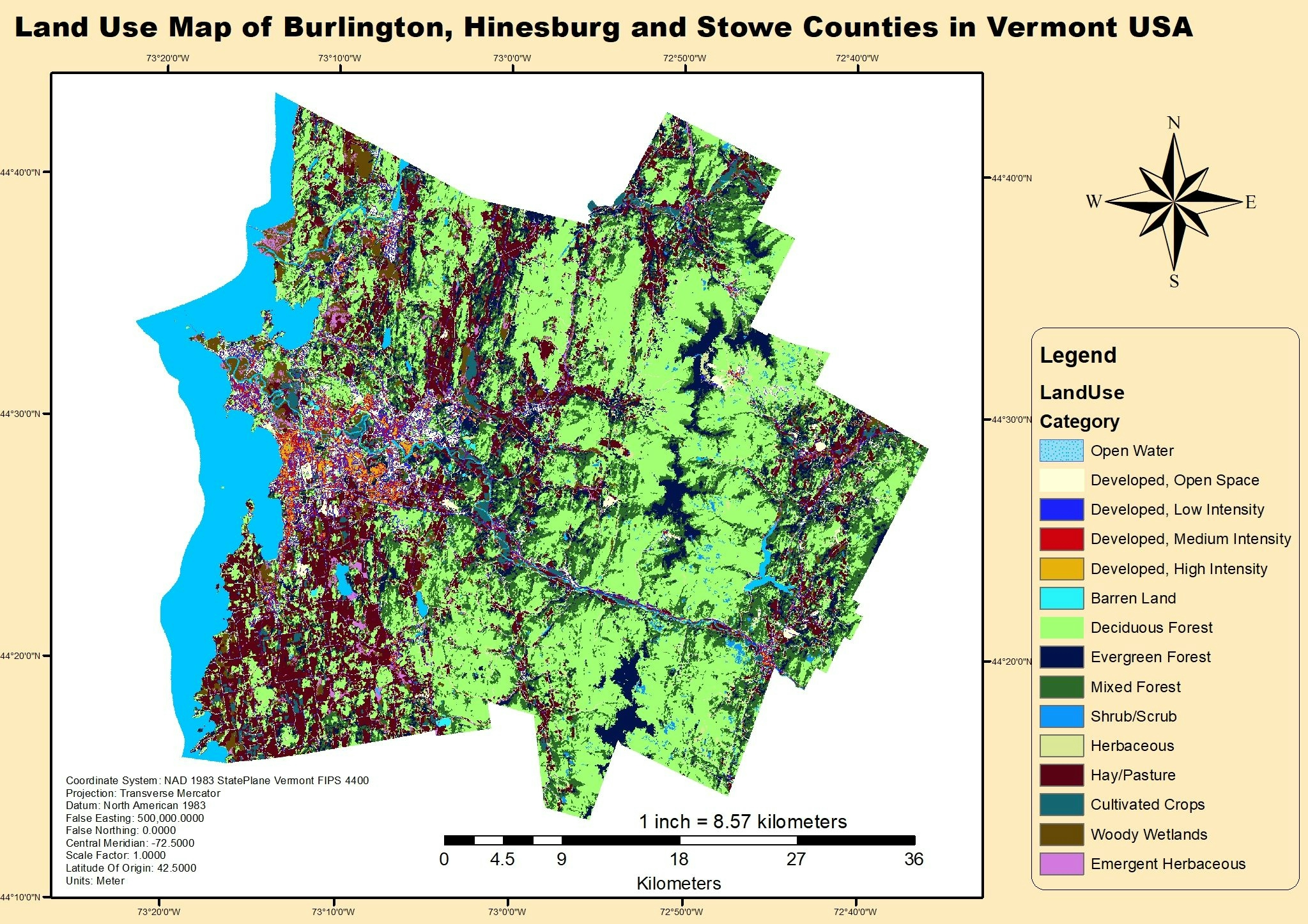
This project was done to determine the land use land cover of parts of the Vermont State.
Land Use map of Vermont USA
Plug-ins used
ArcGIS Pro
tags
ArcGIS ProArcMapLULC visualization
More by Oswald Onimhawo


You might also like


.svg "Robert Sullivan")


Join the community!
We're a place where geospatial professionals showcase their works and discover opportunities.