Map of economically vulnerable household

Esther Ayomide Adeniji

December 24, 2022

Map of economically vulnerable household

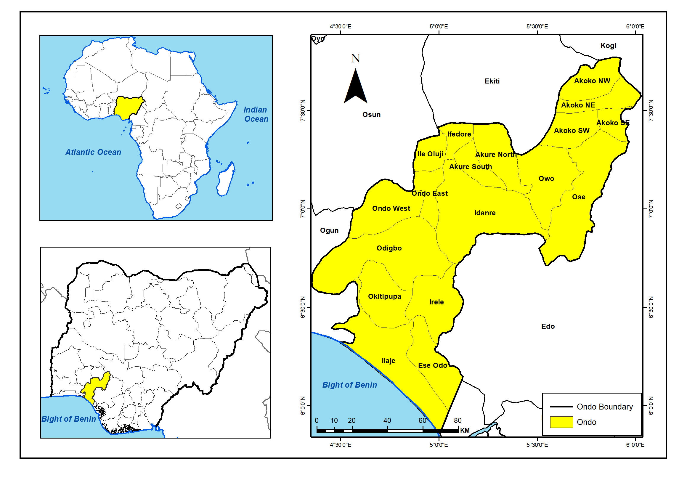
Field enumerators collected geocoded data of identified socio-economically vulnerable households in Ibadan metropolis.

Logistics team reported the number of households reached for distribution of COVID-19 pallative.

Collected dataset was cleaned, harmonised, transformed into a shapefile.

Coverage and vulnerability data was visualised with the aid of a map and charts.


Tools used

ArcMapMicrosoft Excel

Plug-ins used

ArcGIS Living Atlas of the WorldData VisualizationLayout

tags

Coverage MapCOVID-19Vulnerable Populations

You might also like

Join the community!

We're a place where geospatial professionals showcase their works and discover opportunities.