
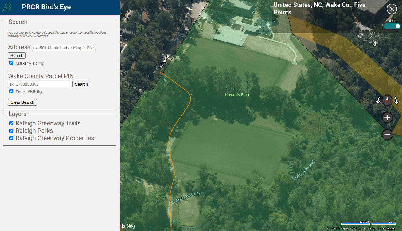
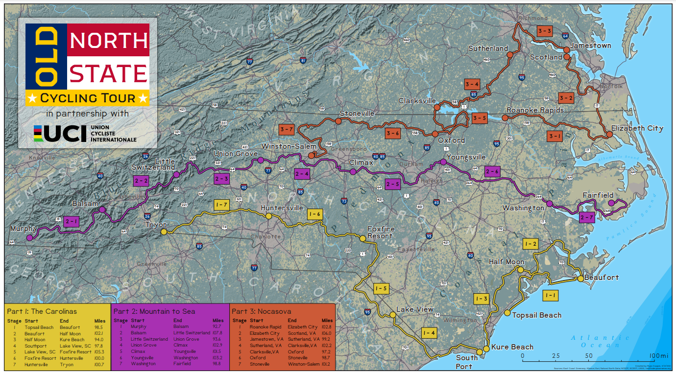
An application for use by Raleigh Parks' planning staff to view parks and greenway areas using the oblique imagery layer provided through Microsoft's Bing Maps.
PRCR Bird's Eye
Tools used
terraformerTurf JS
Plug-ins used
Bing Maps APIterraformerTurf JS
tags
bing maps apioblique imagery
More by Ryan Cooper
You might also like


Join the community!
We're a place where geospatial professionals showcase their works and discover opportunities.