Socioeconomic vulnerability risk


Tools used
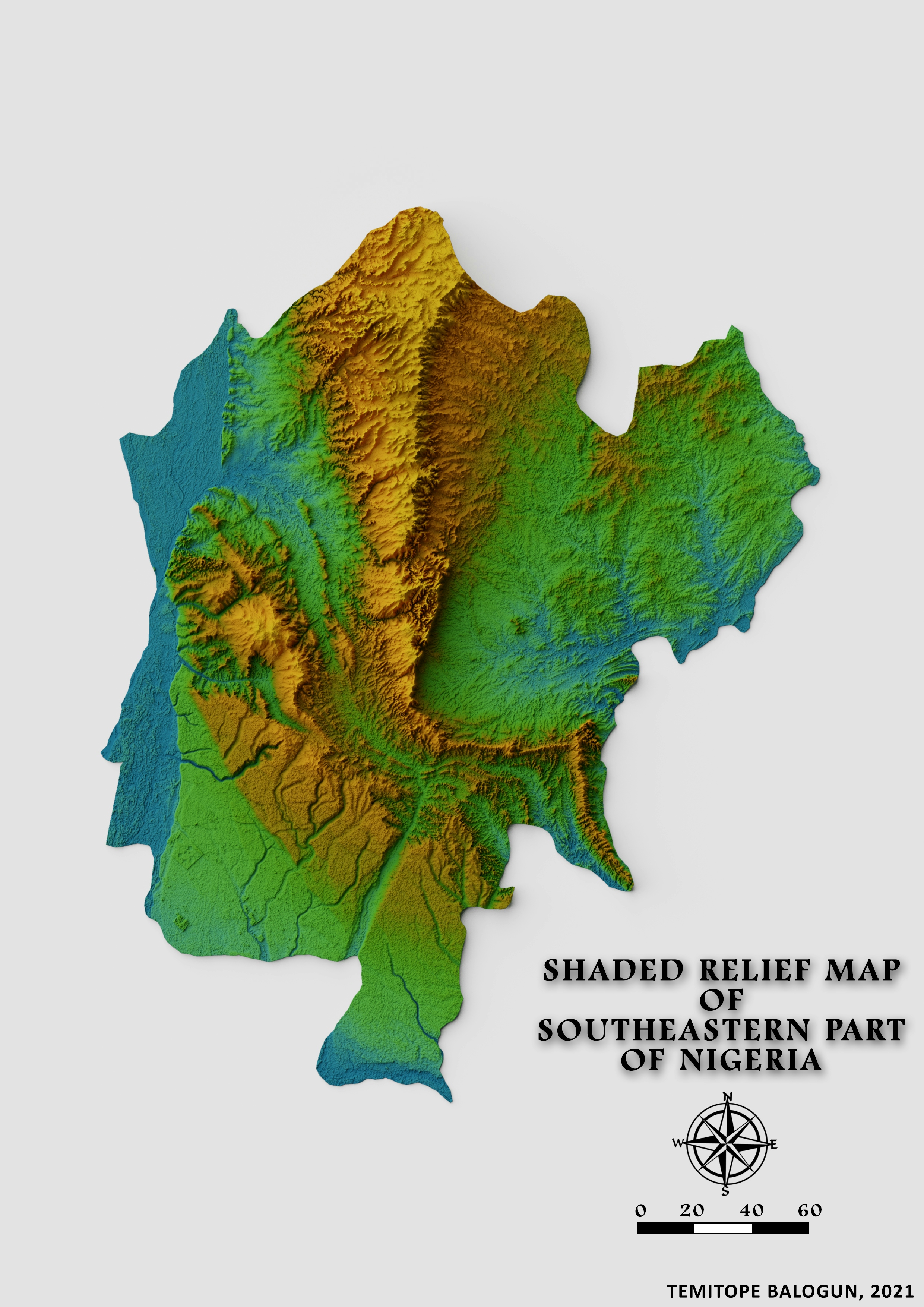
QGIS
Plug-ins used
Openlayers
tags
Data VisualizationQGIS
More by Balogun Temitope


You might also like


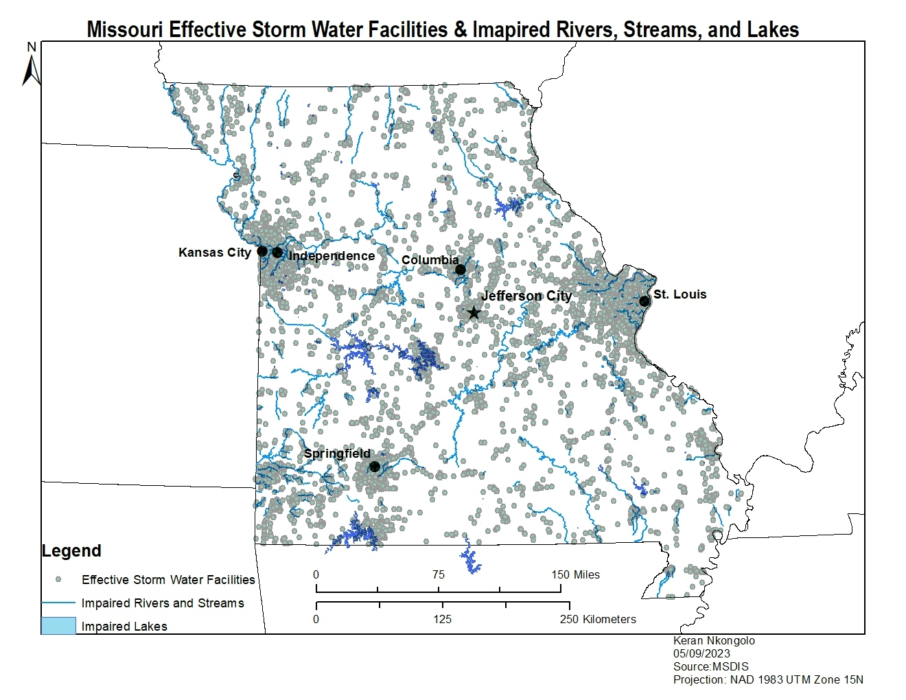
.svg "Keran Nkongolo")


Join the community!
We're a place where geospatial professionals showcase their works and discover opportunities.