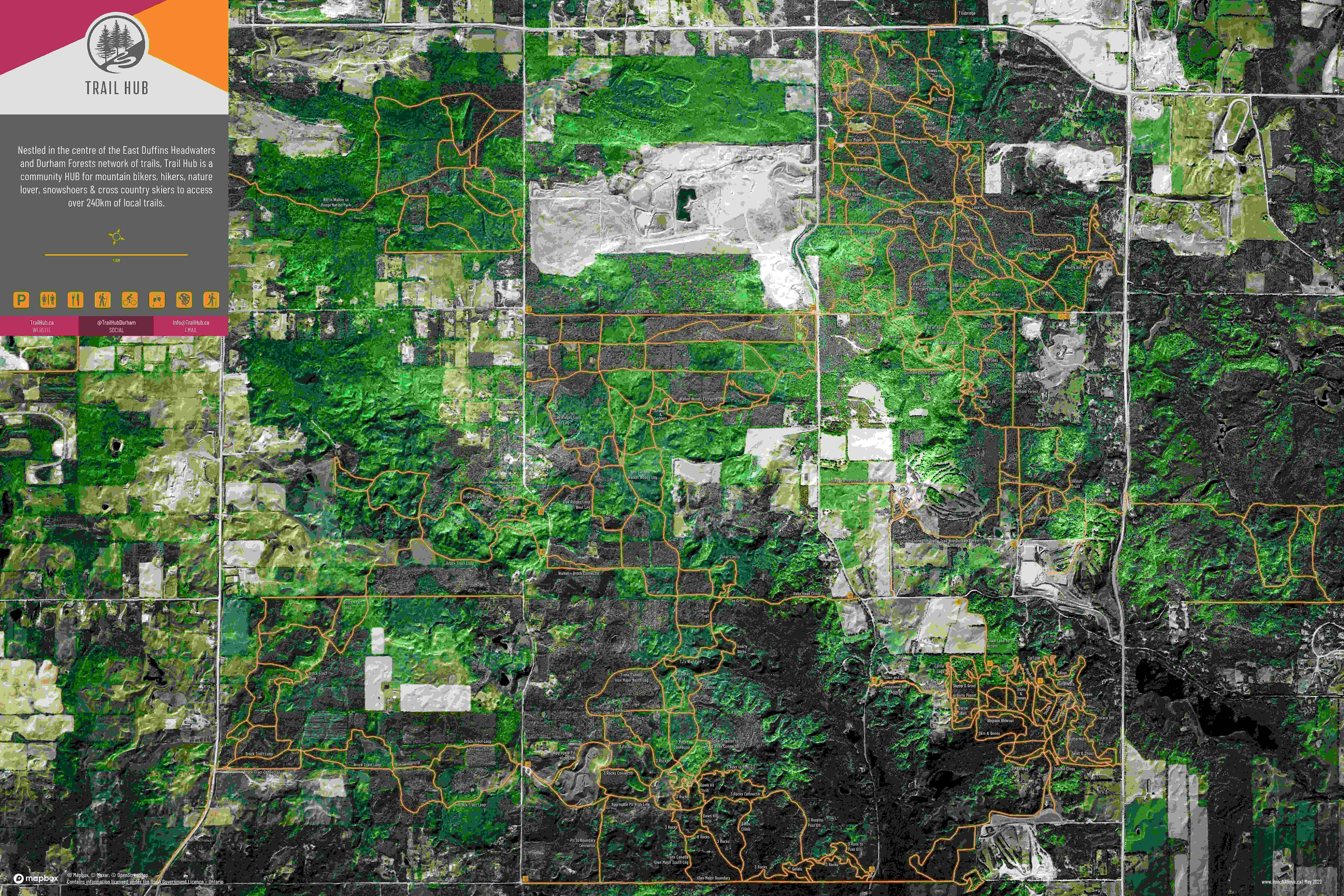
For this class assignment, I was tasked to use supplied vector datasets to locate regions that met certain constraints and suitability requirements. For example, some of these were: the age of a forest stand, its proximity to rivers and fire suppression stations, and areas that were at least one square kilometer. Specific fields also had to be hidden or displayed in the attribute table to achieve clean data in the final layer (not all polygons shown in example photo). The final result (first image) showcases the suitable areas found through this analysis.
Using the Model Builder within ArcGIS Pro, I was able to do this step-by-step analysis using a variety of tools learned during class lectures.