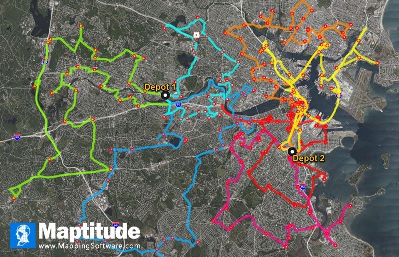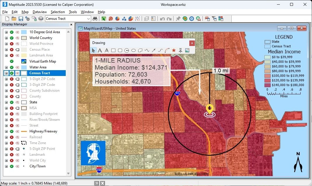
As healthcare networks begin to deploy COVID-19 vaccine services, how do you ensure that homebound patients get their coronavirus vaccines as quickly as possible? Mapping software or GIS (Geographic Information Systems) are tools that are ideally suited to enabling analysts to optimize vaccine distribution.
In this post we explain how Maptitude mapping software can aid in the planning of vaccine delivery for homebound patients.