
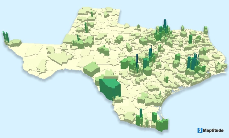
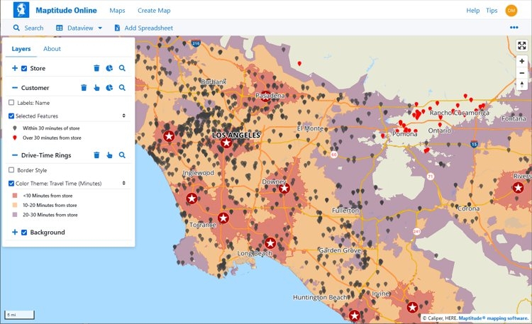
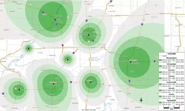
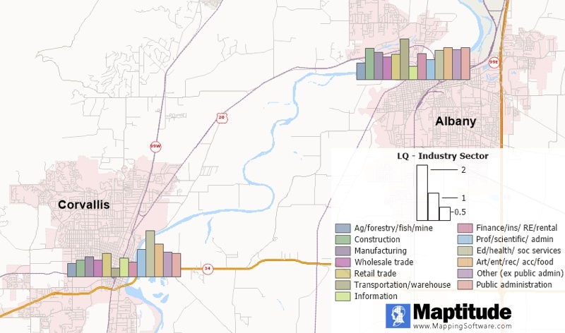
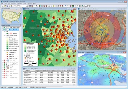
A good mapping software application or GIS (Geographic Information Systems) provides a library of default maps and styles out-of-the-box that allow you to create presentation-ready and professional looking maps. These predefined settings can help you rapidly create a useful map, but if you take a little more time, you can make some minor modifications that uncover the trends hidden in your data. There is no one-size-fits-all approach to creating a map, but the best maps share a common concept. Some map aesthetics are influenced by historical maps and art styles. Others are entirely contemporary. However, good maps have a distinct style that focuses on the story being told, conveying it to the reader in a clear, engaging, and comprehensive format. Here are some tips and tricks for producing eye catching and informative maps!
Making Attractive Maps
Plug-ins used
Maptitude
tags
Data Visualization
More by Stewart Berry


You might also like


Join the community!
We're a place where geospatial professionals showcase their works and discover opportunities.