

These 2 maps were created for my final class project using a tutorial from ESRI titled Map the effects of climate change on the ocean by Tom Allen and Heather Smith.
Mapping Historic vs Modeled SST
Plug-ins used
Geoprocessing Tools
tags
ocean
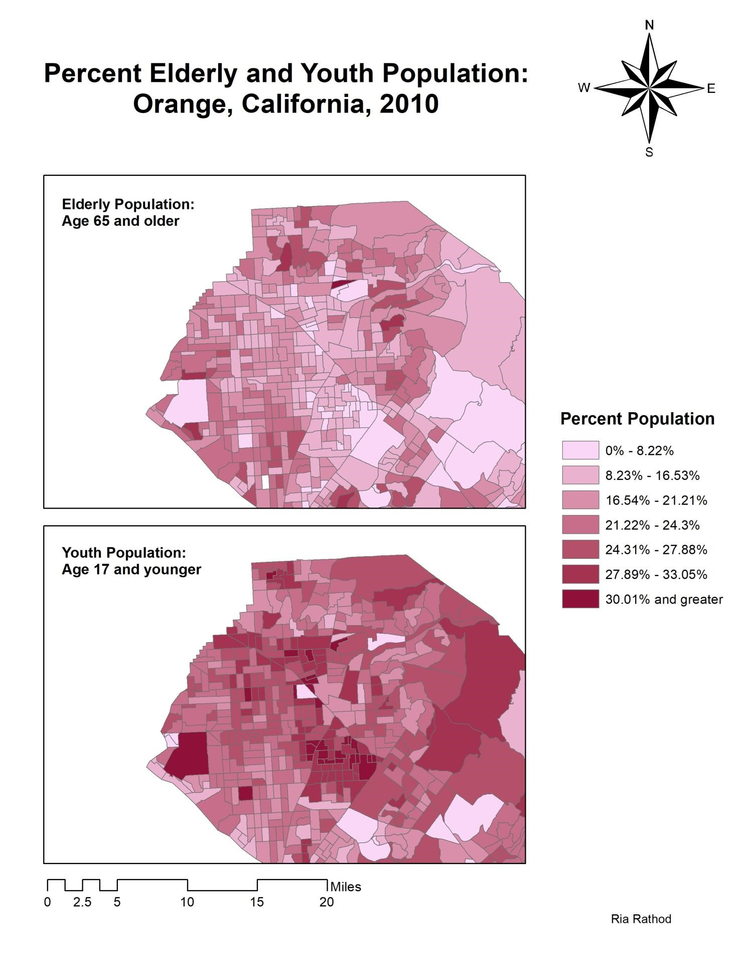
More by Ria Rathod


You might also like
.jpg&w=3840&q=100)


.svg "Keran Nkongolo")


Join the community!
We're a place where geospatial professionals showcase their works and discover opportunities.