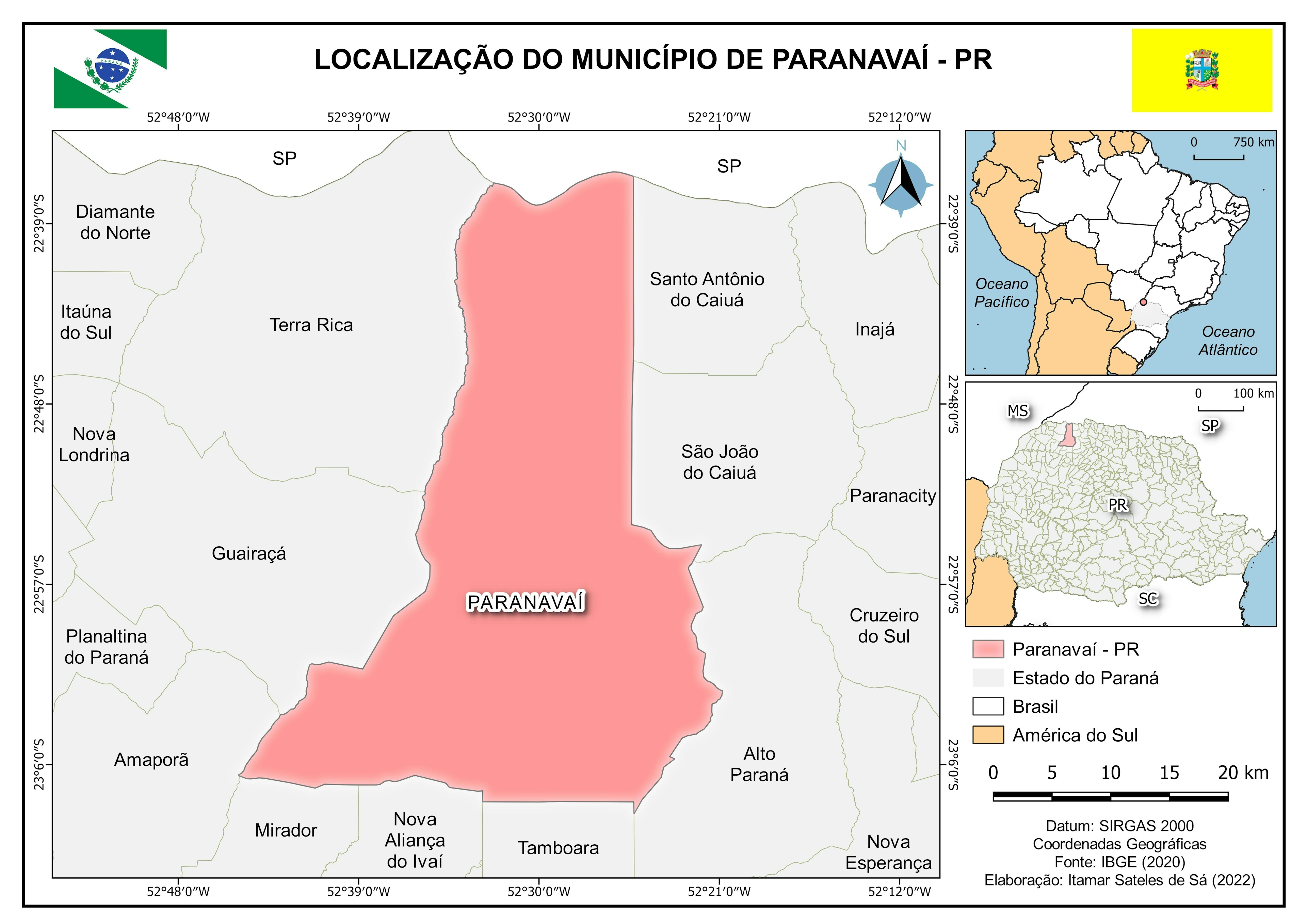
This location map was developed to represent the study areas in the municipality of Paragominas (PA), showing the geographic position of the polygons of interest (A1 and A2) in relation to municipal and state boundaries. In addition to the main area, reference maps at different scales (state and national) were included to provide broader spatial understanding of the territory.
The map was produced following official cartographic standards, using datasets from IBGE (2024) and a background image from Google Maps, with the reference system UTM projection – Zone 23 South, Datum SIRGAS 2000. This product demonstrates the integration of technical rigor and visual clarity, reinforcing the role of cartography in scientific communication and territorial planning.