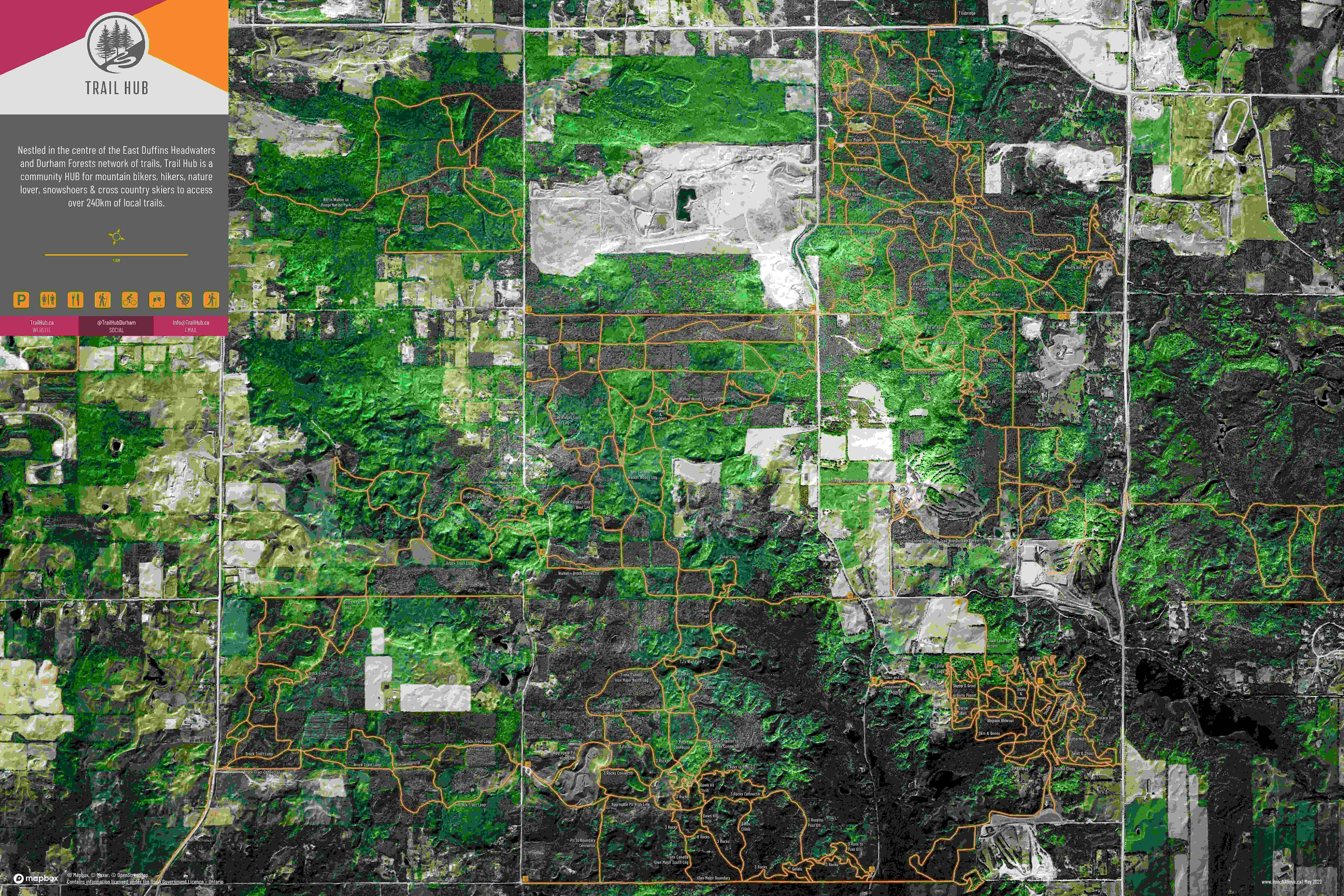
Map Title: Extracting Building Footprints By Deep leaning Using ArGIS Pro, Las Vegas ,USA
Building Footprints were extracted using deep learning in ArcGIS Pro to efficiently identify and map building structures from high resolution imagery Las Vegas, USA. Traditional manual digitazing is time consuming and labor intensive, especially in large urban areas. By applying deep learning models, building can be automatically detected with greater speed, consistency and accuracy. The Extracted footprints are valuable for urban planning and land-use analysist, population estimation, disaster management, infrastructure development and updating GIS database.