
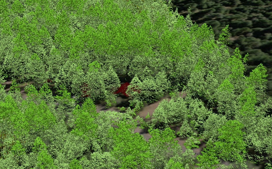
In March 2026, a multi-platform drone survey was conducted on Bokeelia Island, Florida, in collaboration with Johns Hopkins University to capture high-resolution geospatial datasets across the coastal interface. The published project integrates high-resolution Digital Surface Models (DSMs) alongside processed aerial and terrestrial LiDAR data to map accurate shoreline elevations beneath dense vegetation. To capture environmental variations, multi-sensor thermal imagery was published to map surface temperatures, while embedded aerial hyperlapse video footage captures broad site overviews. Finally, the story map utilizes field photography to document the surface operations of an autonomous drone boat, paired with integrated underwater drone video footage to assess sub-surface seagrass beds and algae coverage.
Bokeelia Drone Expedition
tags
DroneDrone MappingdsmLiDARThermal
More by Veronica Tully


You might also like







Join the community!
We're a place where geospatial professionals showcase their works and discover opportunities.